By Sue Ann Kendall
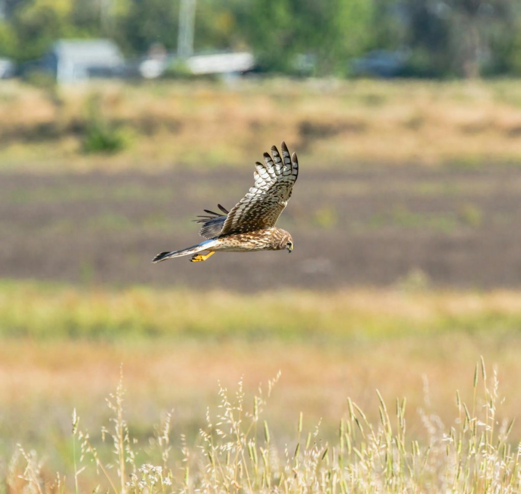
That’s right, nature lovers, it may only be halfway to spring, but the first Purple Martins have already arrived! Merlin found the first scouts at the Hermits’ Rest ranch on February 5, which is right about the right time, perhaps a little early.
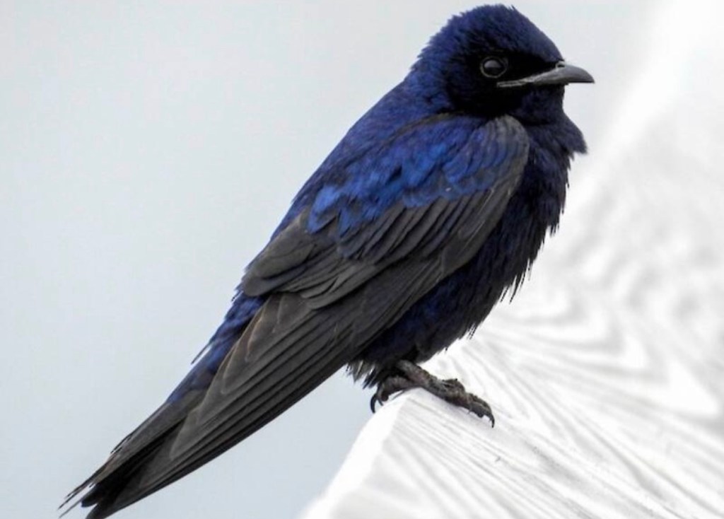
I’m pretty happy that ours are back, because our martins don’t nest in houses made by humans—we have enough tree cavities in our mature wooded area that they can breed in lovely holes made by our busy woodpeckers. (Today I’ve heard Downy, Ladder-backed, Red-bellied, and Pileated Woodpeckers.)
I sure enjoy their flashing colors and beautiful songs.
In honor of our chapters favorite Purple Martin lover, Donna Lewis, I’m re-printing her blog from last year on preparing her nests. enjoy!
It’s Purple Martin Time… Are You Ready?
by Donna Lewis
Yes, it is already that time when our Purple Martin friends will start their migration from Brazil back to North America. Yes, the early ones will still face freezing and other harsh weather events.
I wish I could ask them to wait a little longer, but instinct is urging them onward. The scouts (who are not the youngest birds) hope to find the best housing first…
As of today, 1/30/2025, sightings have been called in for San Antonio, Austin, Houston, and a few more Texas sites. Central Texas does not have a certified sighting as yet. I hope that myself or our Landlord in Buckholtz will win that honor. We’ll know soon. I am watching for them all day..
First of all, your houses (gourds, or apartments) should be cleaned, and with added pine-needles if you do that. I also added pine-needles to my Blue-bird houses. The openings should be blocked off so no sparrows, other birds, or insects can get in them. You need to check yourself. Do not open the housing until the first scouts land on the houses. If you are looking for the Martins you will see or hear them. Then open a few of the cavities, not all of them. I usually will pick four to open.
You do not want the non-native birds (House Sparrows or Starlings) to get in the houses. These birds will kill the Martins for the nests. Trust me, it is not a pretty thing to see. I think keeping predators and non-native birds out is the hardest thing landlords have to deal with.
Right now my gourd rack is lowered and ready to open. This coming week I will get the apartment house ready to raise up.
I have had back issues this past year, so I will have to have some help caring for my friends this year.. But I will help them out as long as I can. Their song is so addictive that most Landlords that love and care for these native birds will do it until the end of their life. A gift from Mother Earth. Their songs are like no other.
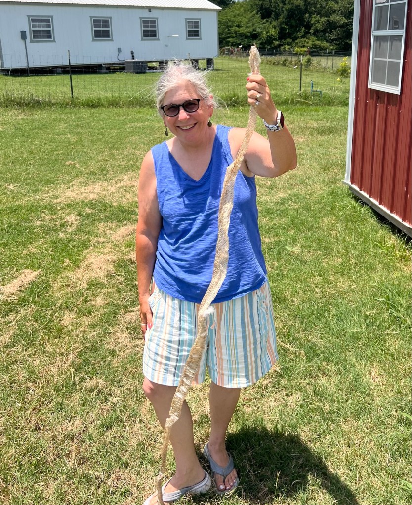
Here are some photos showing me stuffing the gourds with fresh pine-needles that will help keep the birds warm and give them a start on nest building that will come later.


We can expect to have Martins here with us for about six months, until they leave for their winter home in Brazil. again.
Birds can lift a sad spirit. No matter what the world is going through, every day they go about their business with joy and sing to us. How lovely.
Remember who you want to call to your home, and furnish what they need. They will come.