April 13 brought one of those evenings that reminds me exactly why we chose this land and why I love being a Texas Master Naturalist.
Oscar and I were out working on a fencing project as the light began to fade—the kind of work that keeps your hands busy but lets your ears stay open to everything happening around you. And that’s when I heard it—the unmistakable, rhythmic call of a Chuck-will’s-widow.
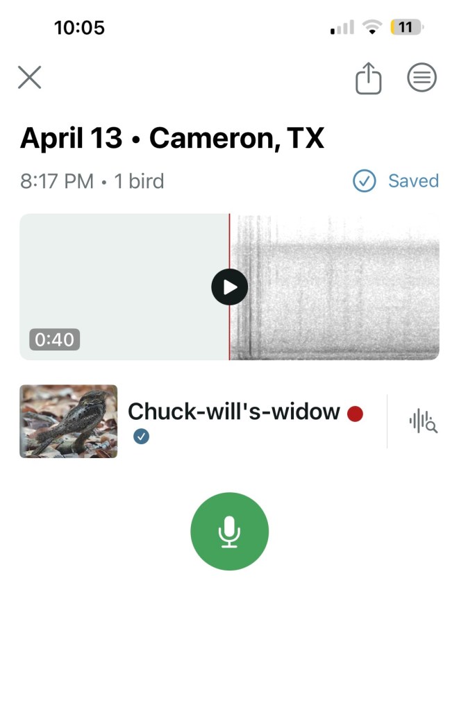
There’s something special about recognizing a bird by sound before anything else. I paused, listened again, and smiled. Just to be sure, I opened the Merlin Bird ID app, and within moments it confirmed what I already knew. The call carried through the evening air—steady, familiar, and right on time for spring in Central Texas.
As we continued working along the fence line, another sound cut through the dusk—a sharp, unmistakable “skeow!” Then another in response. Two Green Heron were calling back and forth across the road. Even without reaching for my phone, I knew exactly what I was hearing. It felt like listening in on a quiet conversation between neighbors along the water.
After we wrapped up and made our way back to the garage, the evening still wasn’t done with us.
As we sat there, a small animal casually walked toward the garage opening, paused when it saw us, and just as quickly turned around and disappeared into the night. What I caught was enough—a small body, mostly white with broken black streaks, and later, just the tip of a fluffy pale tail slipping out of view.
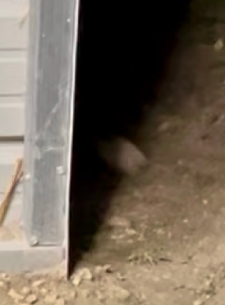
I’ve smelled skunk around the house recently, so I had a suspicion something was visiting, but seeing one in person was something else entirely. It was quick, quiet, and surprisingly beautiful. One of those fleeting wildlife moments where you barely have time to react before it’s gone.
That single evening gave us a perfect snapshot of what healthy habitat looks like:
- A nocturnal bird calling from the woods
- Wading birds communicating along the water
- A small native mammal moving confidently through its territory
All layered together at dusk.
Out here at Twisted Creek Ranch, these moments don’t feel rare—they feel like rewards for paying attention.
And sometimes, even when you miss the photo, you still catch exactly what matters.
(I was able to get the tip of the skunk’s tail!)