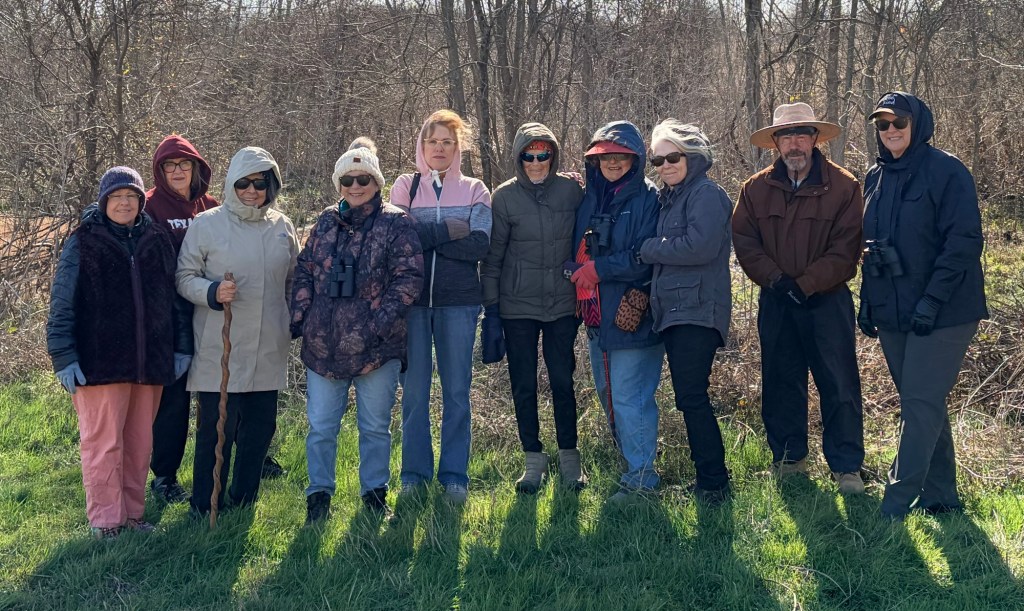
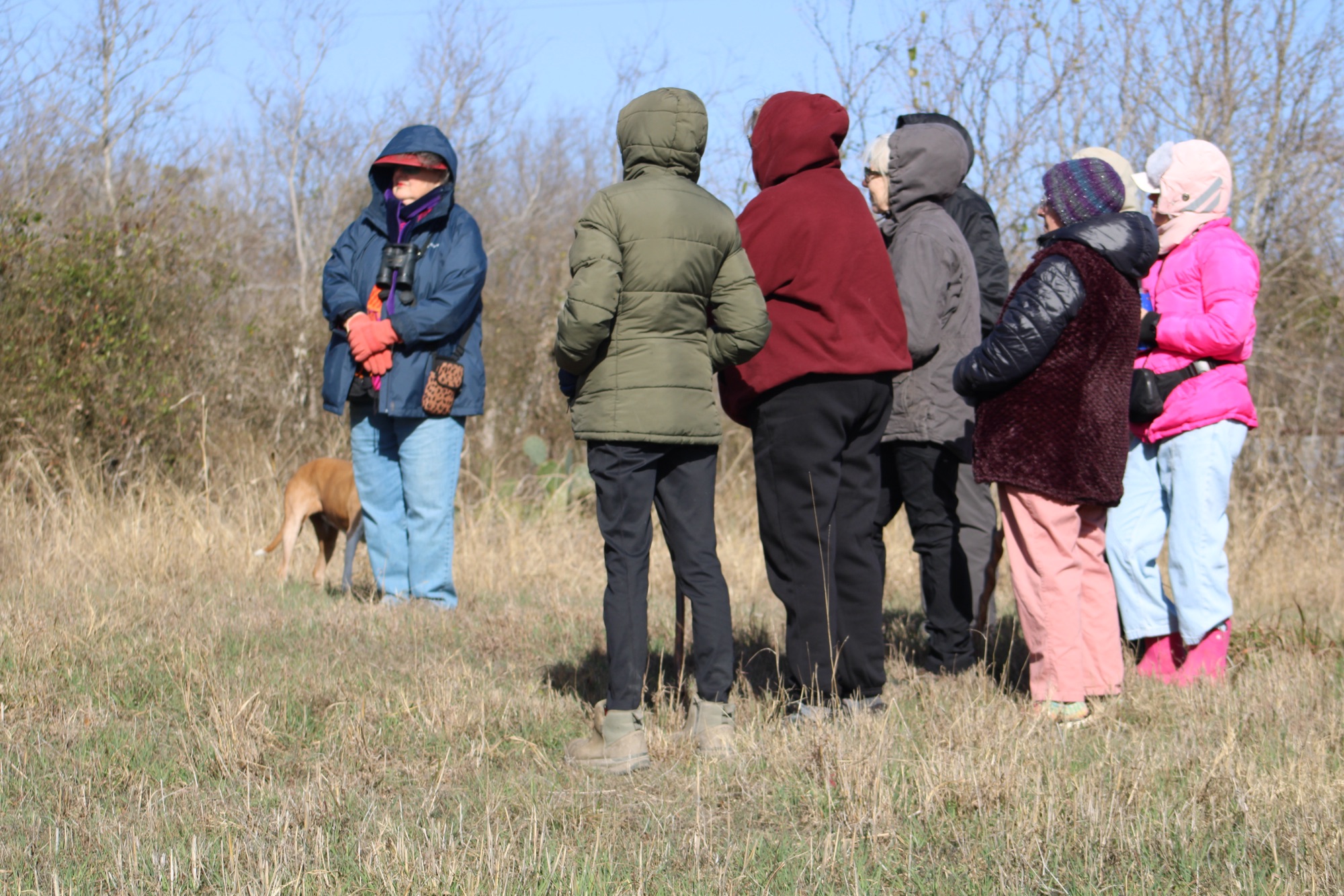
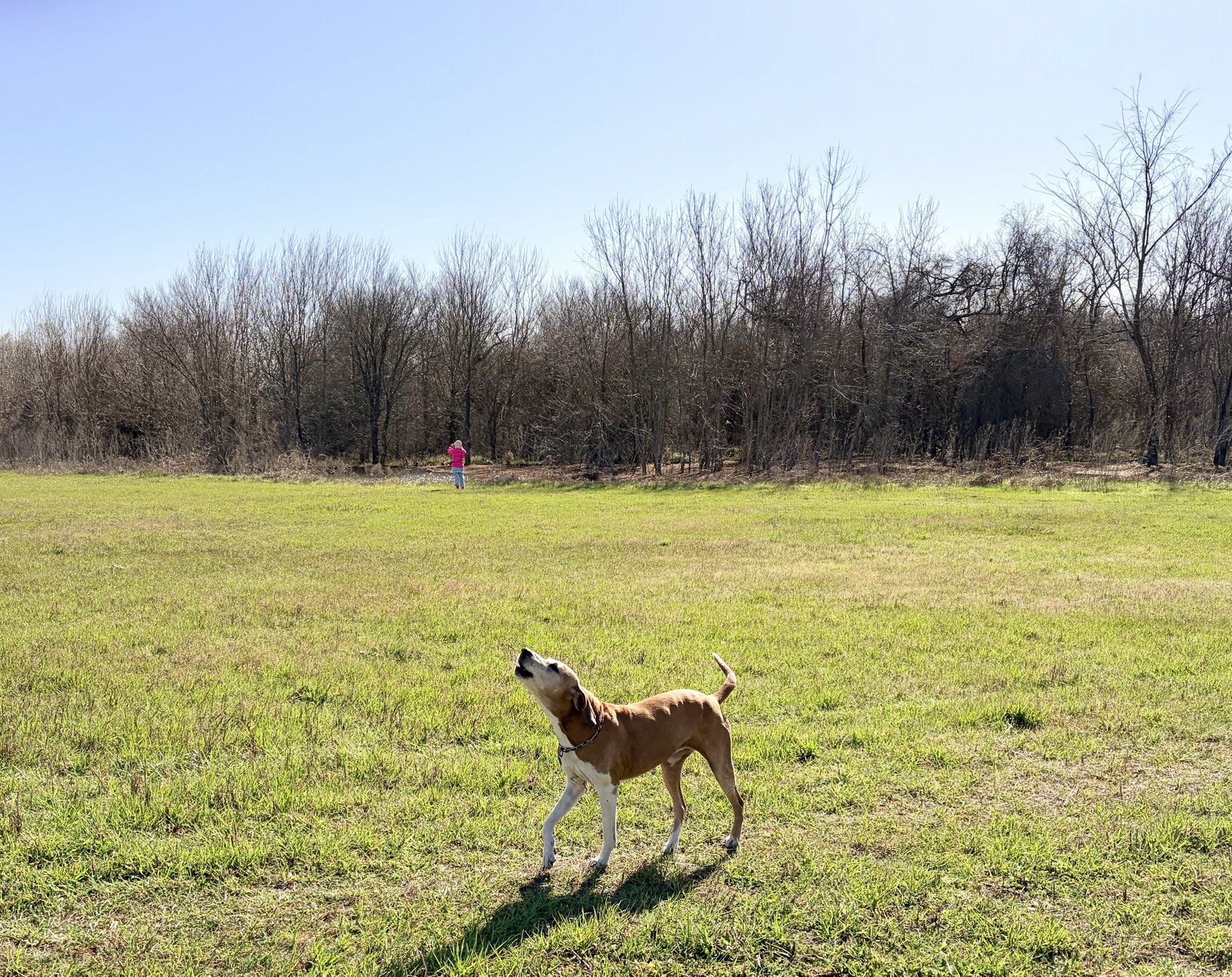
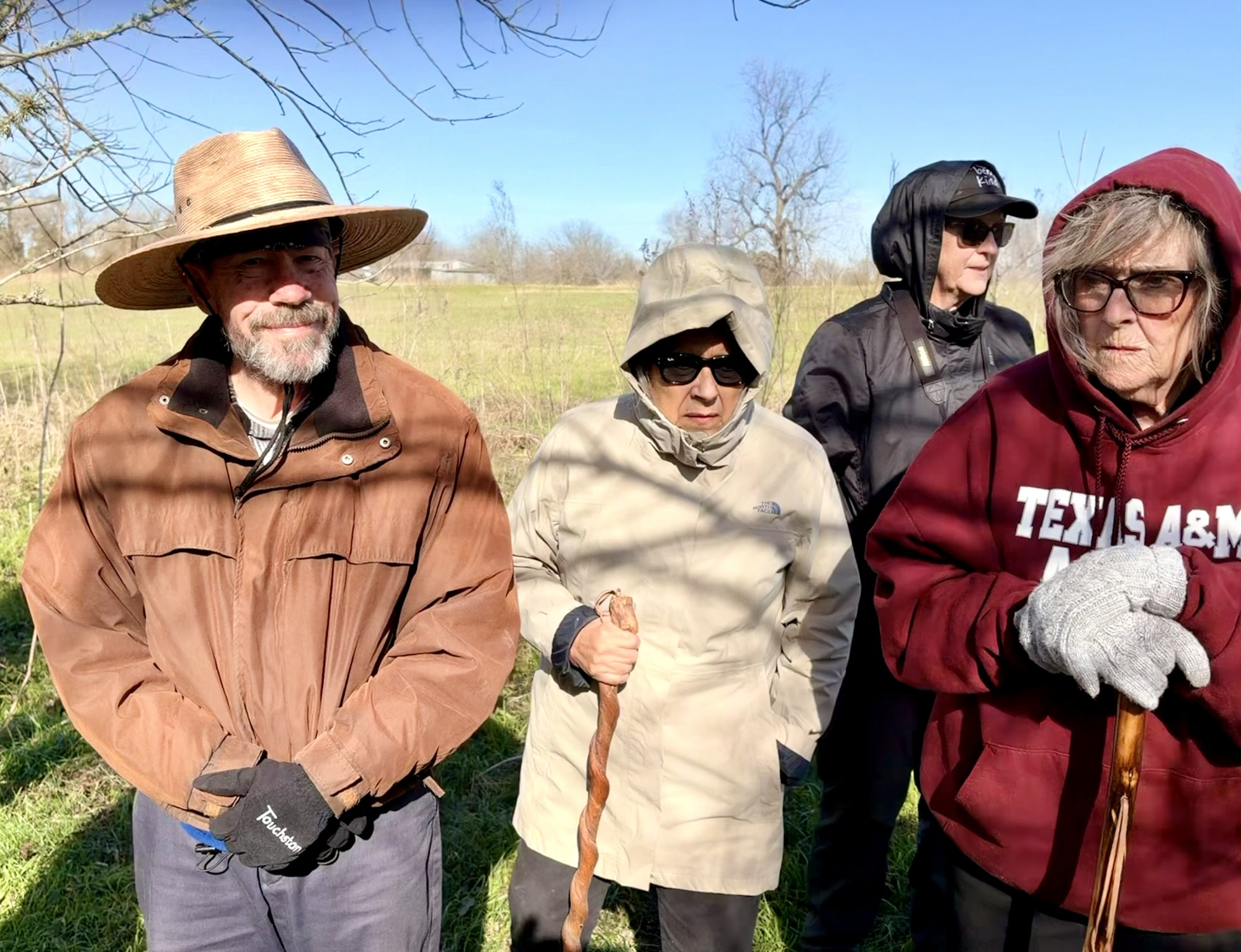
This past Saturday was chilly, plus there was a brisk wind. That didn’t stop a small but eager group of members of our chapter and friends, though. It was their big chance to learn all about beavers and their habits.
Do we look cold?
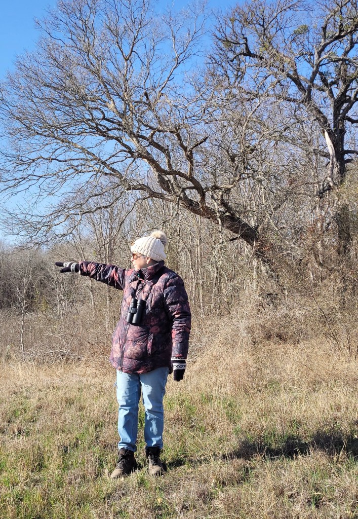
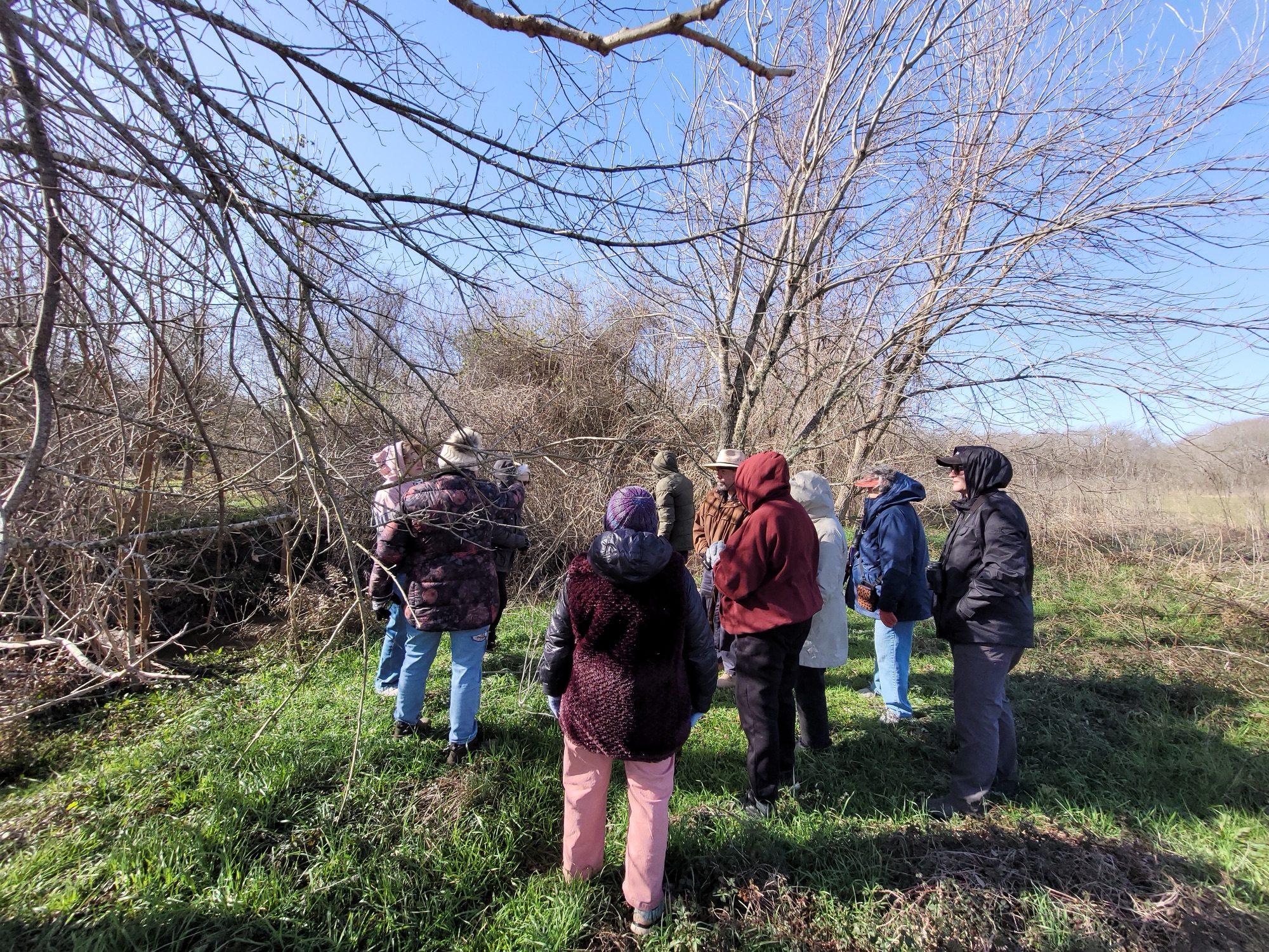
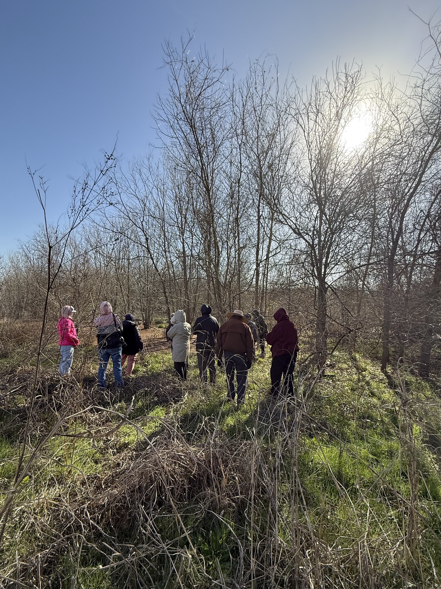
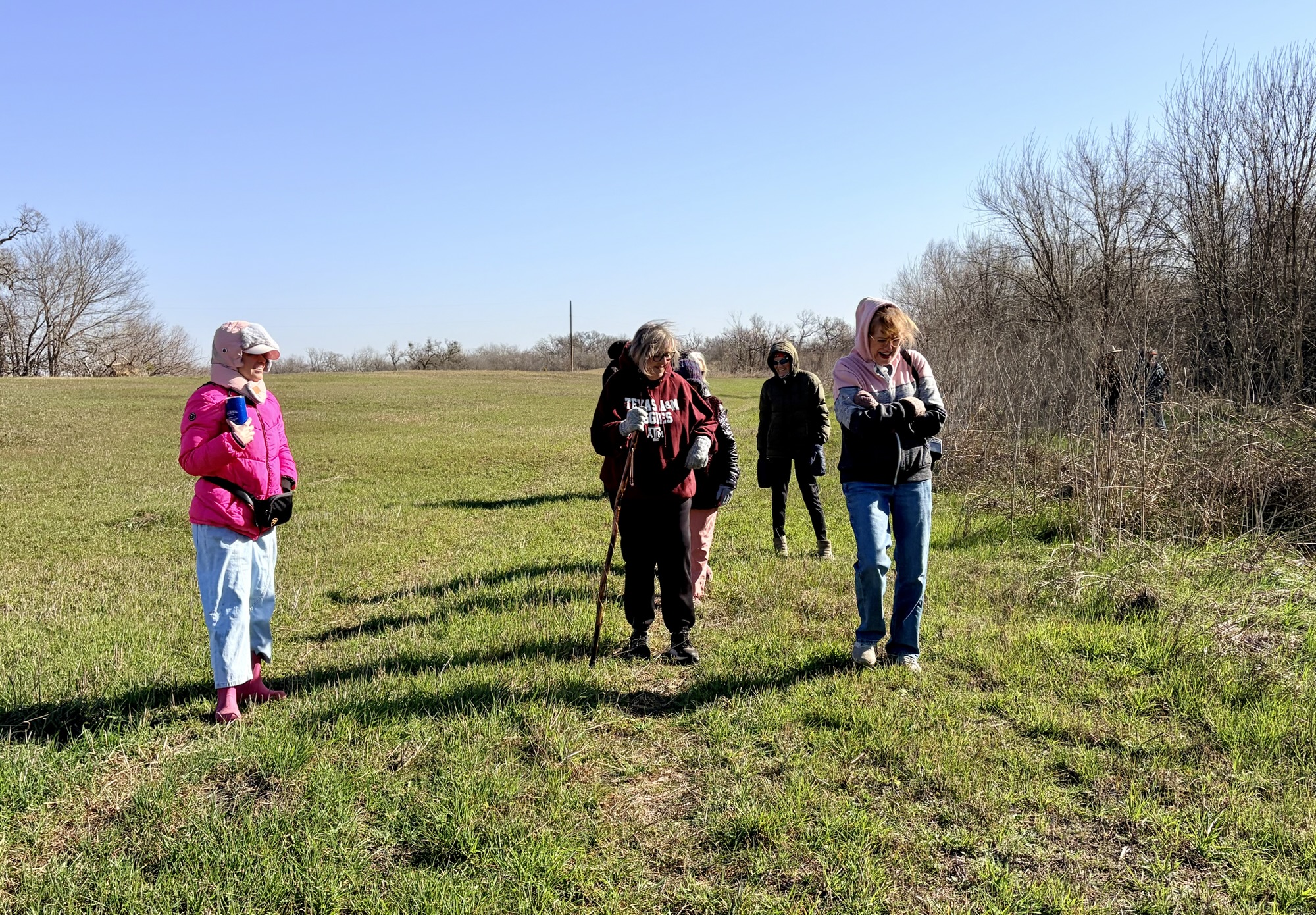
We gathered at the ridge that overlooks the beaver ponds, where I gave an introduction to beavers (having recently read an informative book, Beaverland, from which I learned a great deal about their history and effect on the environment). I also repeated things I learned from this here Wikipedia article on Castor canadensis that you, too, can read.
Me, pointing out beaver world
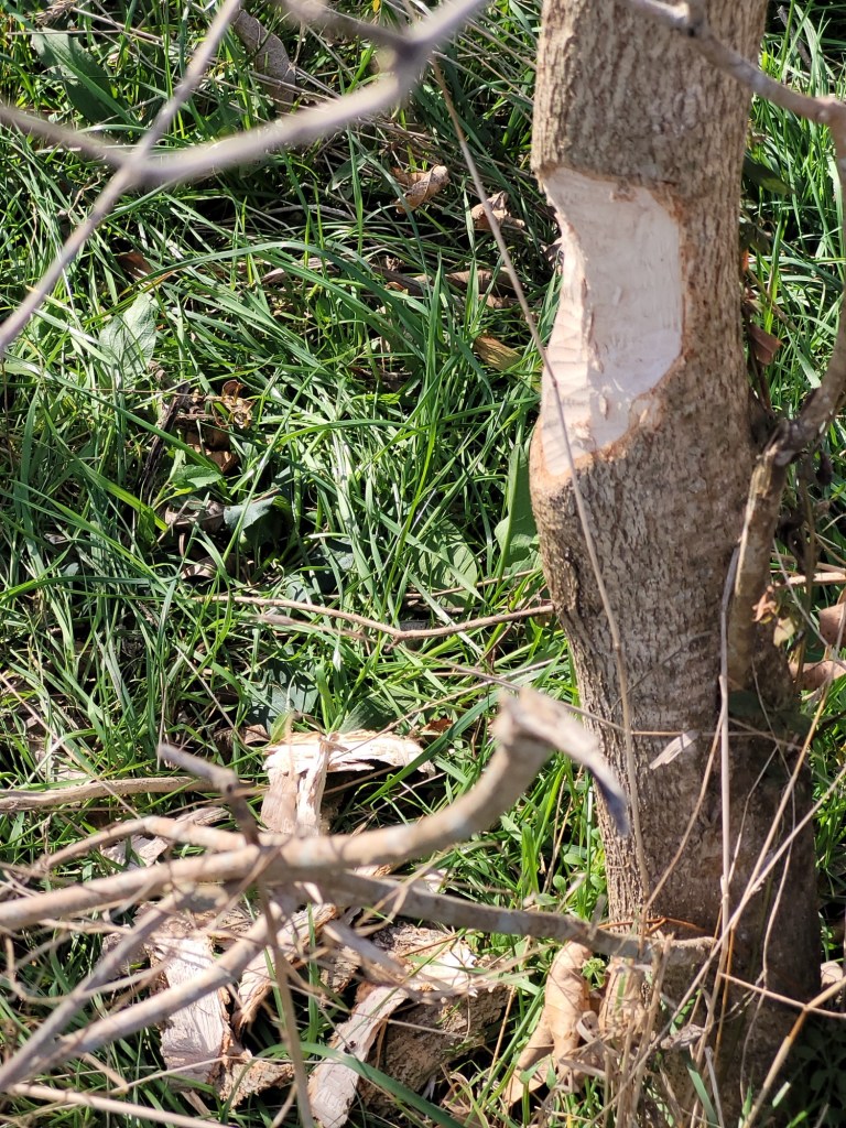
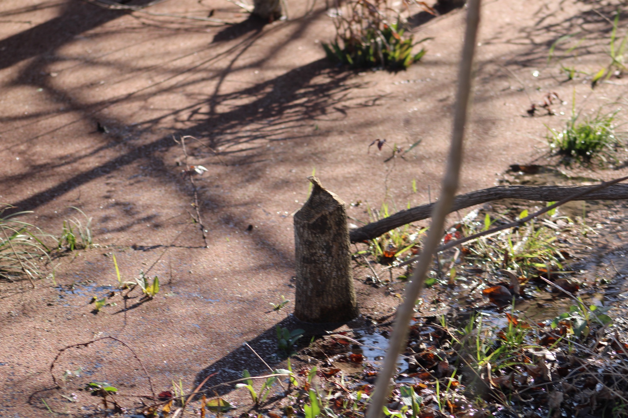
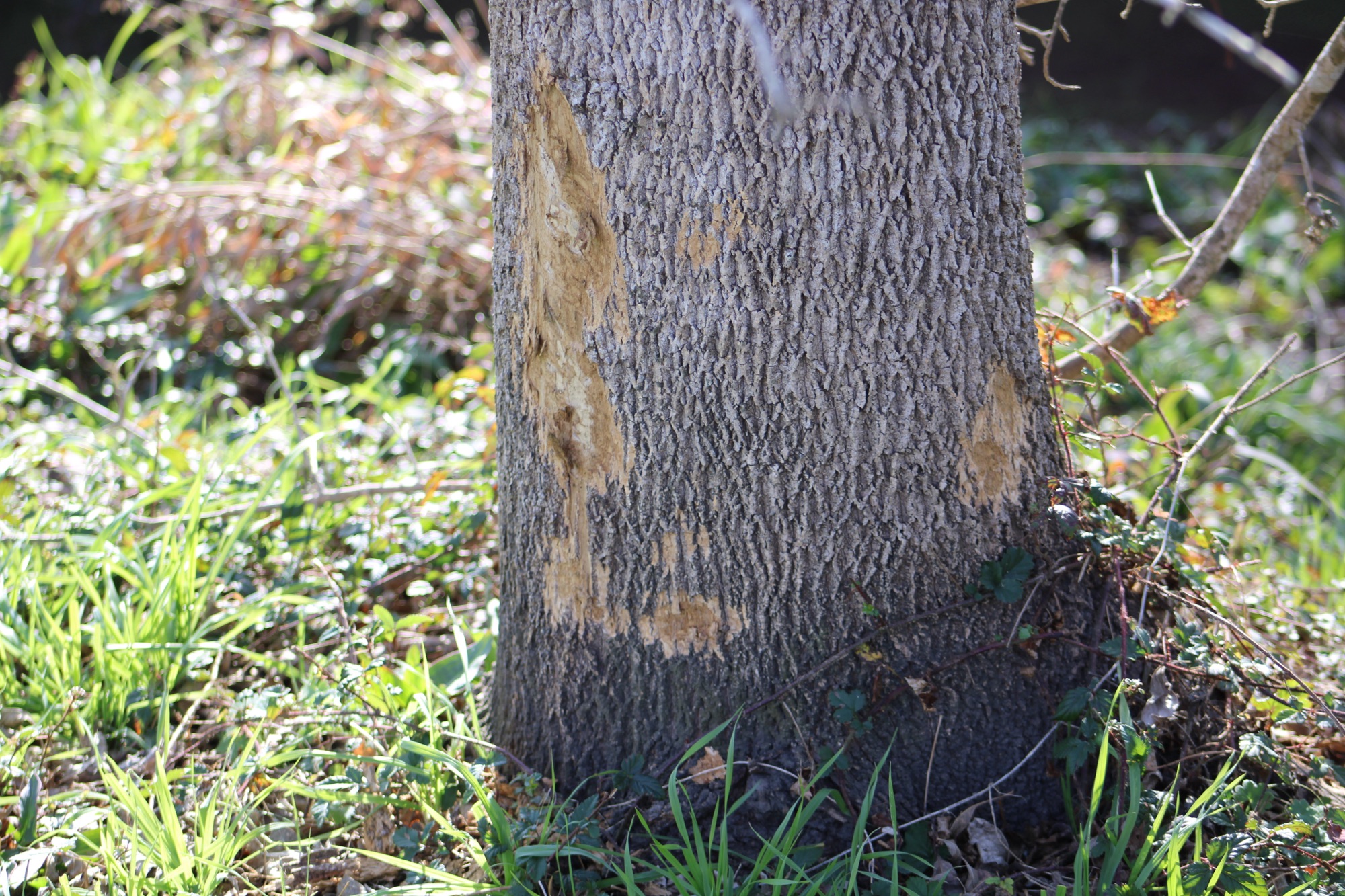
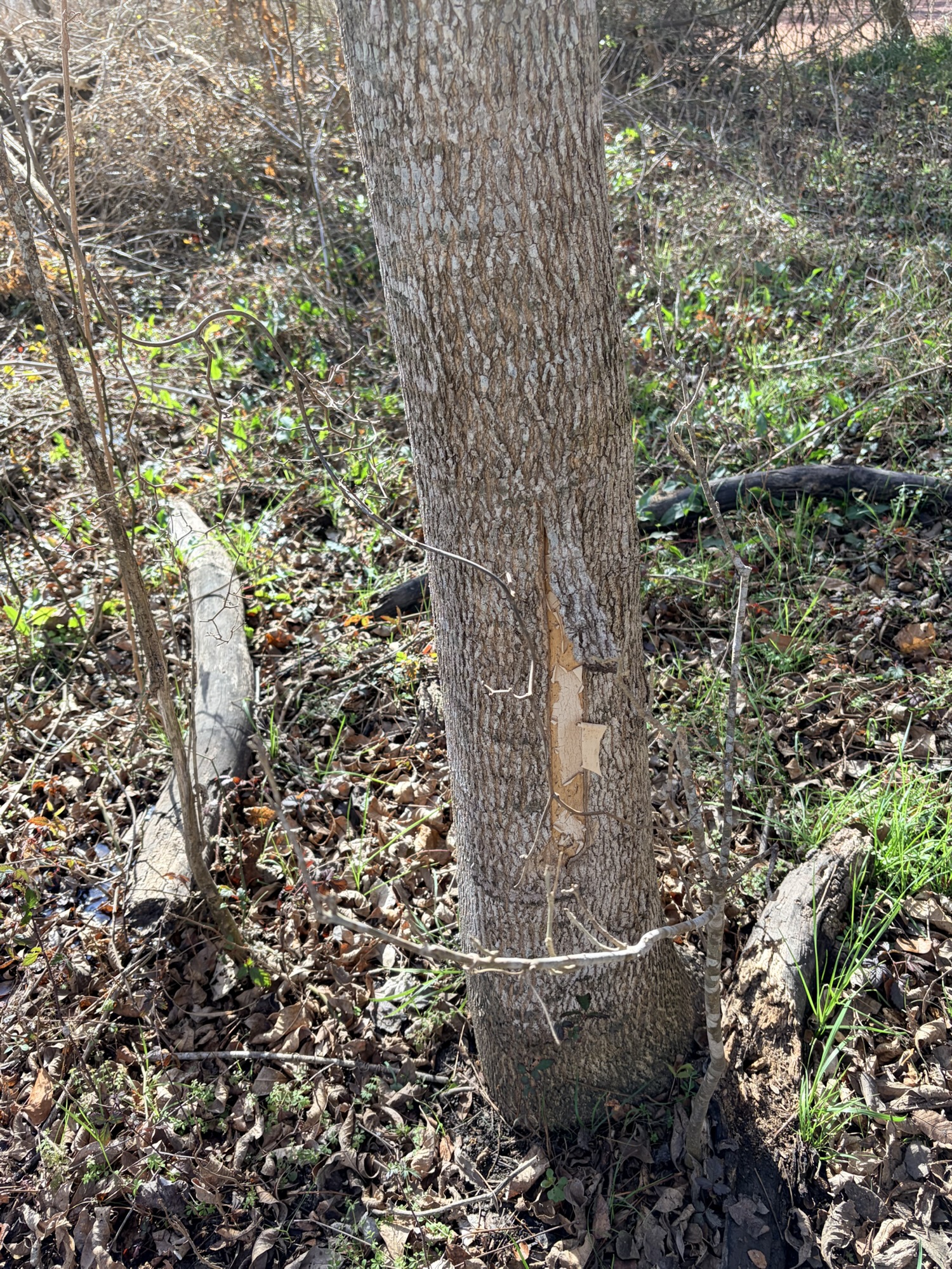
For example, beavers are the second largest rodents in North America, and they have come back from near extinction as a result of the fur trade at the turn of the last century. They have had a huge effect on the environment by damming waterways and creating wetlands that end up becoming fertile land when the beavers move on and the dams break up. They don’t eat trees, by the way, just bark. The trees they cut down with their big orange teeth are used in dams, which can contain their lodges where they sleep and raise young.
Work in progress.
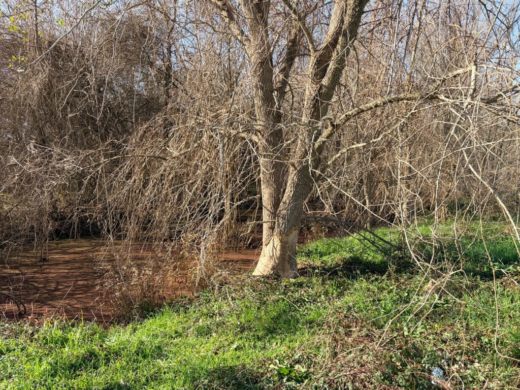
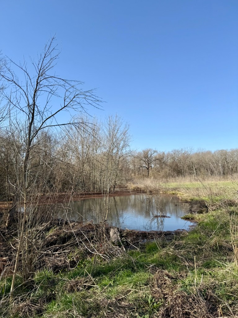
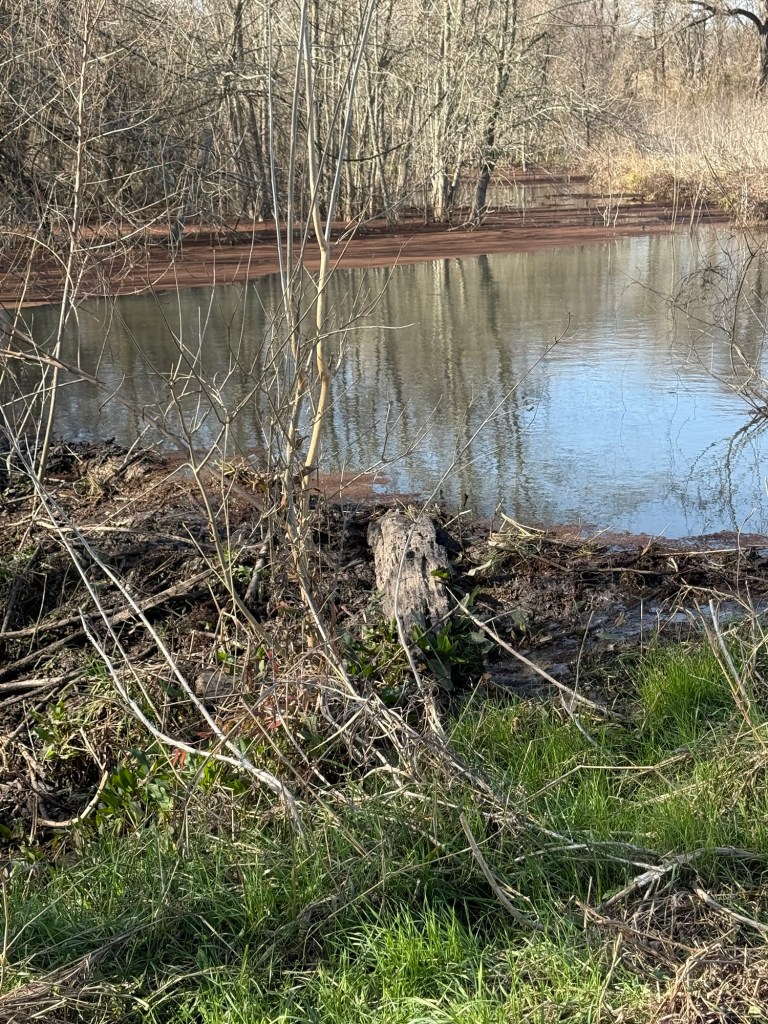
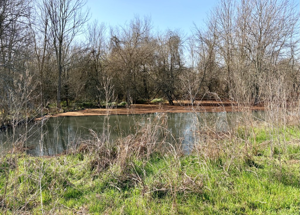
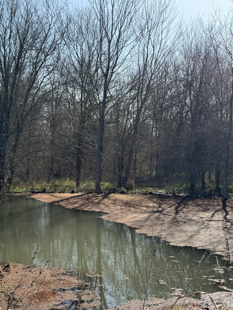
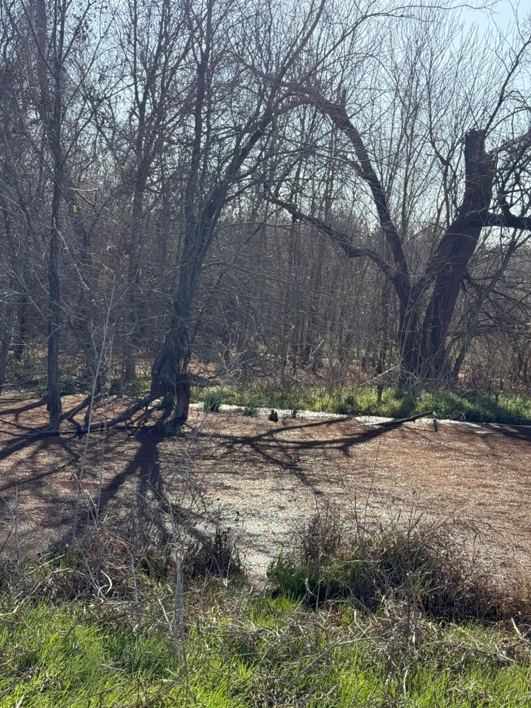
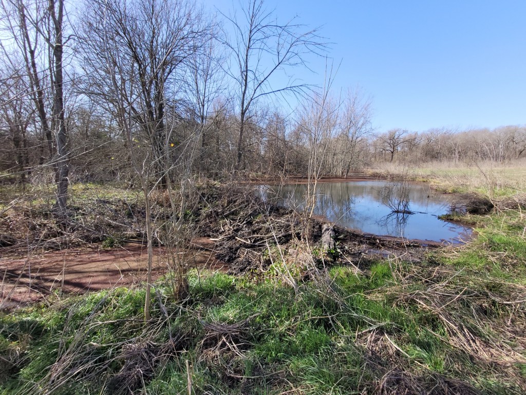
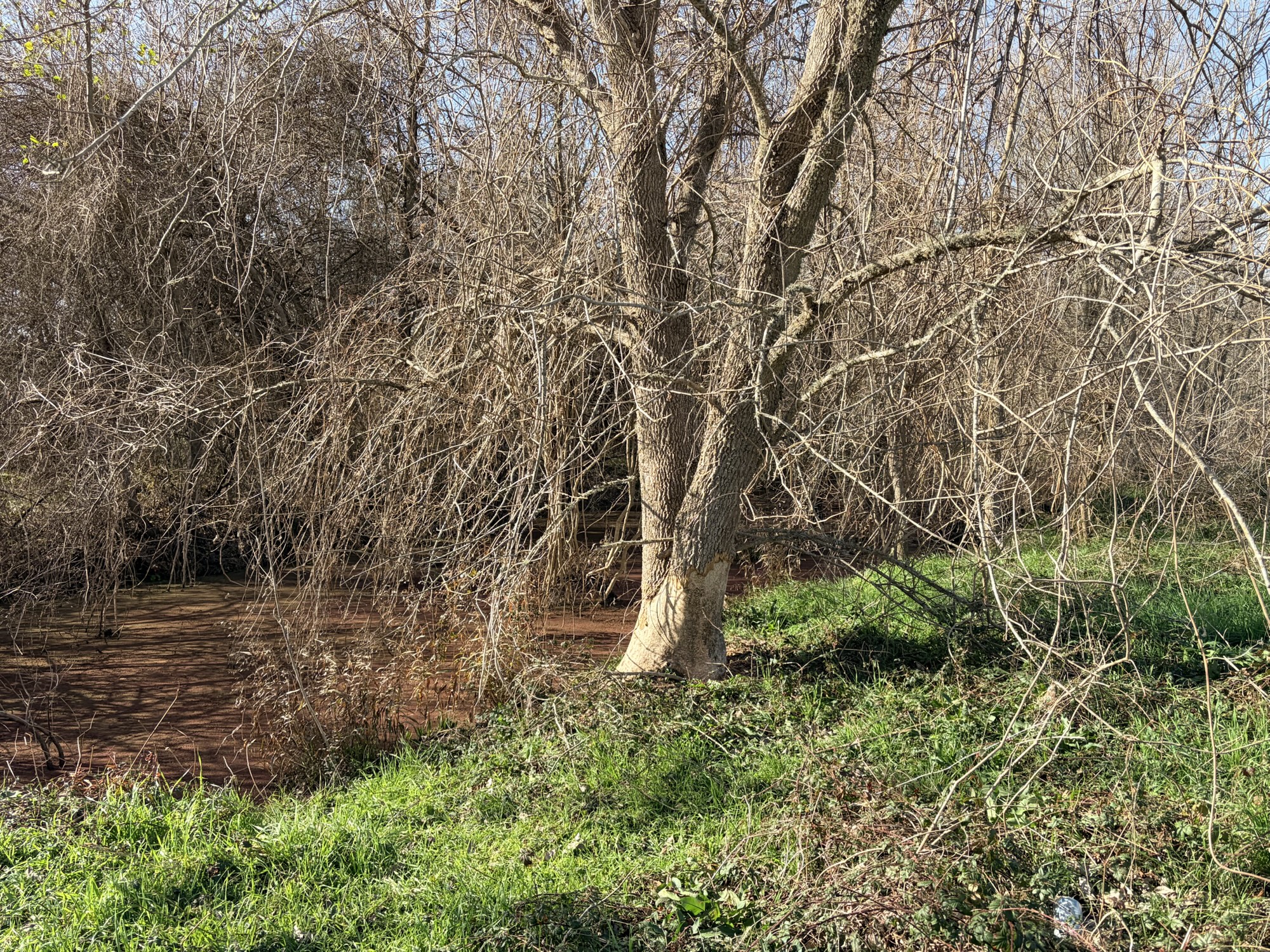
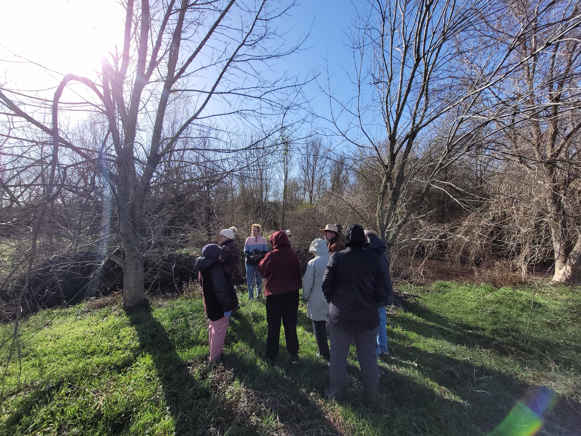
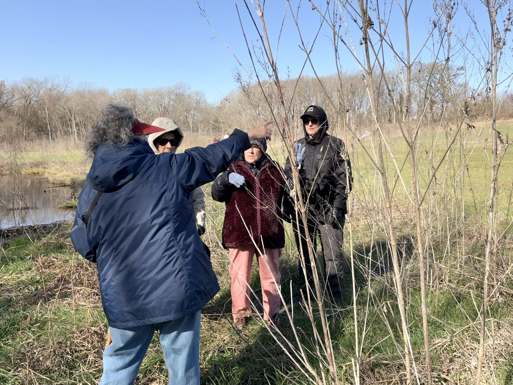
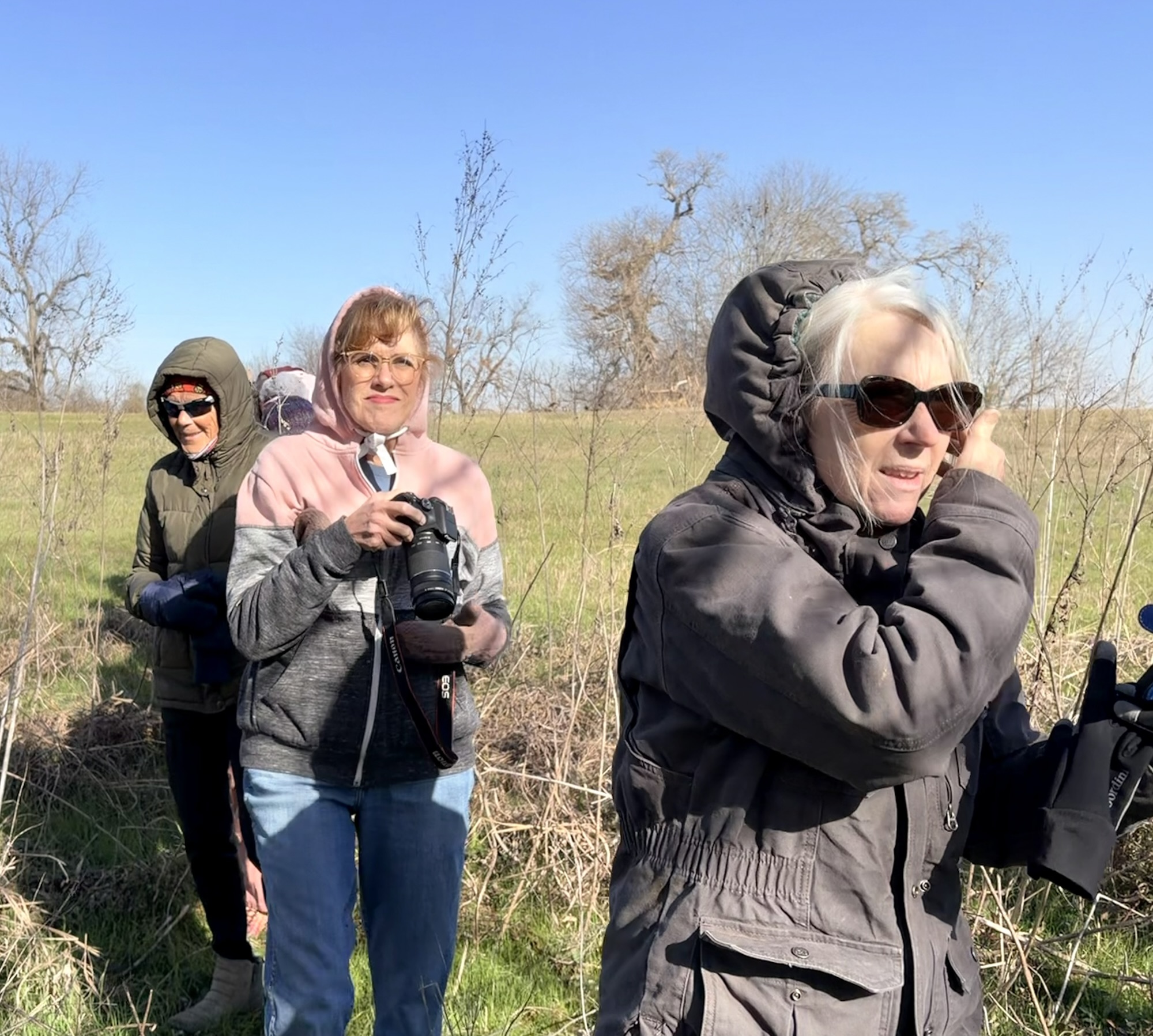
After I talked for just a little while, we trekked off to see the three dams that create beautiful ponds along the spring-fed creek that runs through the property.
DamViews of the ponds
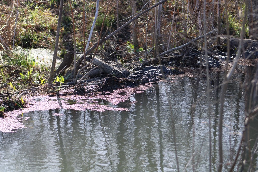
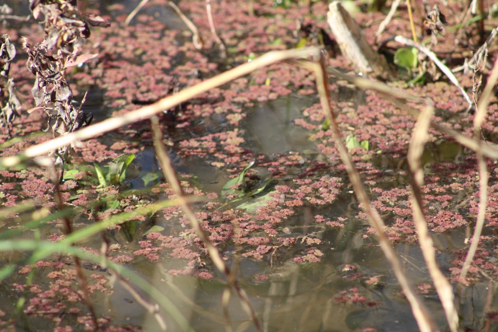
We could see how the creek trickles through each dam, which is another thing beaver dams do, they lessen erosion from fast-flowing water. and we saw many trees that had been chewed on. The pond water was so clear that you could see fish in it, where the duckweeed wasn’t floating.
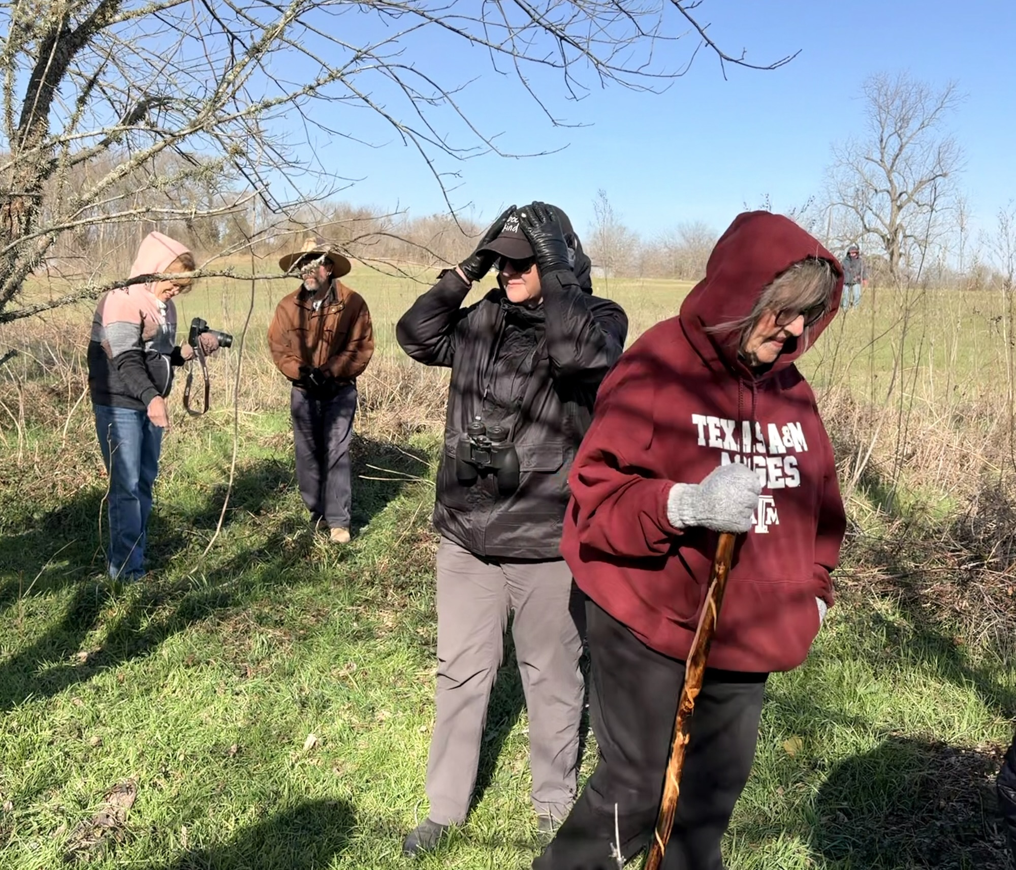
Seen around the ponds
Even though we were a bit chilly, we had a good time seeing this sight not everyone gets to see. The sun was shining and we were with fellow lovers of nature. Not a bad way to spend a chilly Saturday morning.
Photos by Carolyn Henderson, Rosie Johnson, and Sue Ann Kendall
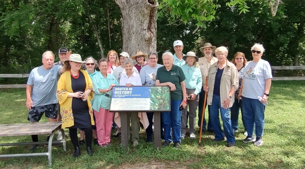
The El Camino Real Texas Master Naturalist took a trip Saturday to a major Texas historical site and got a side of beautiful nature along with it. The tour of Washington on the Brazos was both informative and beautiful.
Group photo in front of famous pecan tree, including Master Naturalists and friends
The Texas Historical Commission has taken over management of the state park and is doing some major renovation on the facilities. The museum manager led the group through a lesson in the most major event in Texas history, and added information on how nature played a role in the events at the site. Sam Houston and delegates from every major city in Texas at the time met there to sign the Texas Declaration of Independence on March 2, 1836. The site was the capitol of Texas for several years, too. Lack of a railroad did it in in favor of Austin.
There is currently an archeological dig that will be made visible to visitors once it’s complete. Several buildings have been reconstructed based on descriptions by visitors there to sign the declaration. The only original structure left from the 1830s is a water well. It was built with stone. The park sits on the Brazos River, which is why it was chosen to be the meeting site. At the time there was a ferry running to the site. There are also some paving bricks left from the original town. Nature took its toll on the main path to the river, and washed it out and away eventually. Another original, and somewhat old structure is still there, too. It is the pillars that marked the entrance to the original park. They are going to serve as the entryway into the archeological dig for visitors.
The grounds, which have grown over the years, have been given over to nature. They are covered in native grasses, wildflowers and trees. The commission has to replant only the state flower – Texas Bluebonnets – because people trample them while taking their pictures in them which disrupts the natural reseeding. All the others manage to come back on their own.
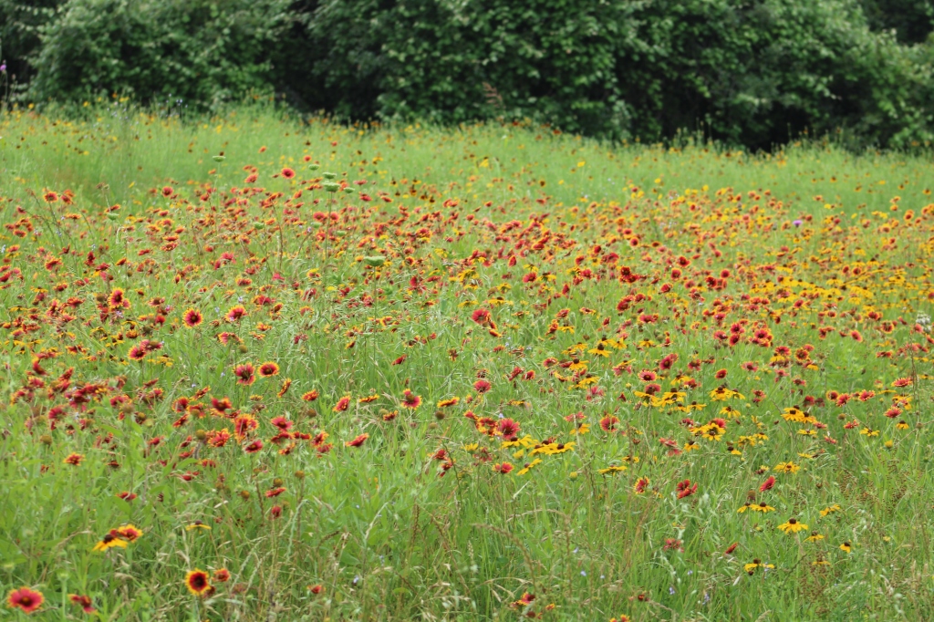
Wildflowers, mostly Indian blanket and black-eyed Susans.
There is a particularly notable Pecan tree on the grounds near the river (see photo above). It is the oldest documented pecan tree in the state of Texas. The delegates met under it during the 17 days it took to get the declaration written and signed. Ironically, it was discovered recently that it is not a native Texas pecan tree. Scientist ran DNA tests on it and discovered it originated in northern Mexico. It is assumed it came with early settlers from Mexico or perhaps missionaries that came up from Mexico sometime well before 1836. It was a pretty good size by then. If you go to the web site for Washington on the Brazos, you can order saplings from the tree. Costs for it are used by the commission to renovate the facilities.
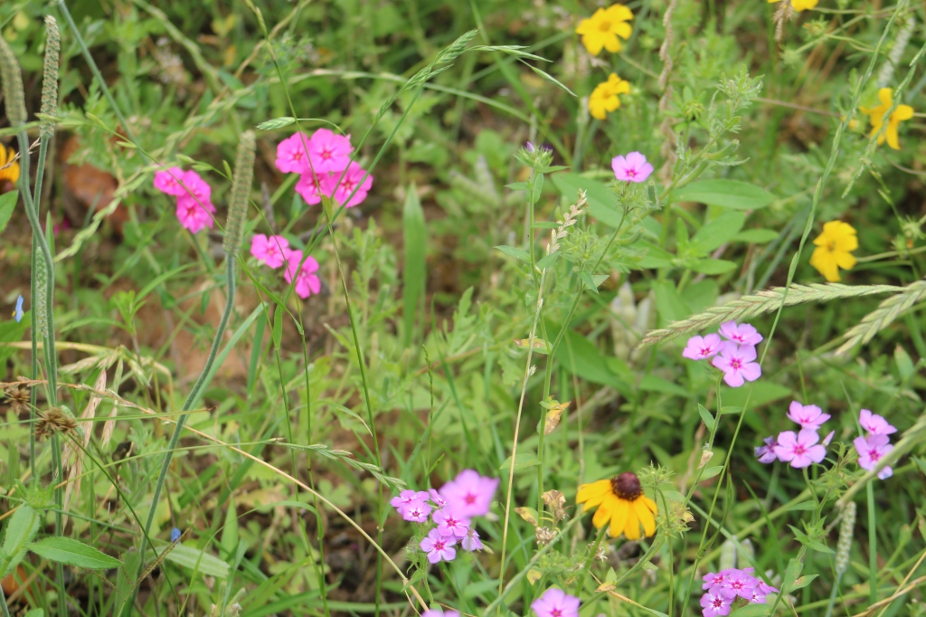
Drummond’s phlox, clasping coneflower, and Engelmann daisies.
Catherine Johnson, organizer of the trip, organized a picnic under the pavilions to round out the trip. It is a trip worth taking, especially if you take a side trip to Independence, Texas nearby.
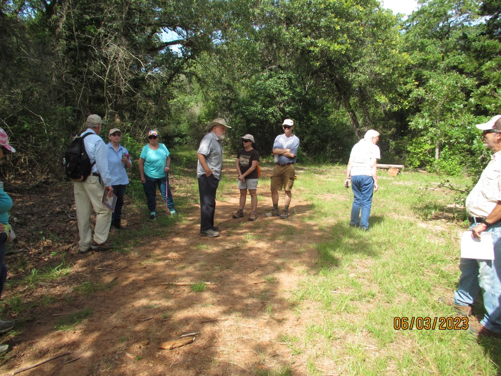
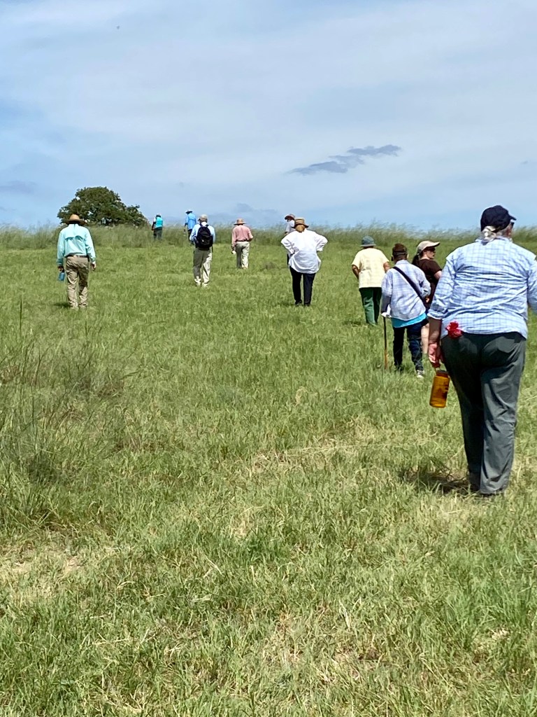
To walk where Spanish settlers walked hundreds of years ago and native tribes lived their lives, even thousands of years ago is an inspiring experience. Members of the El Camino Real chapter Texas Master Naturalist and El Camino Real de los Tejas National Trail Association got to experience it firsthand Saturday in a guided tour of a trail in development.
The group after their hike
The trail is part of the El Camino Real Trail that spans a good part of Texas. The part travelled Saturday, June 2, runs across the Cedar Hill Preserve, owned by Mike and Joyce Conner, and the Baumann Ranch. The Conner property is being developed as a native flora and fauna preserve, and the adjoining Baumann ranch is still a working cattle ranch. It is now part of the National Trail Association, and it is being prepared for study and hiking for organized groups in the future.
The trail head
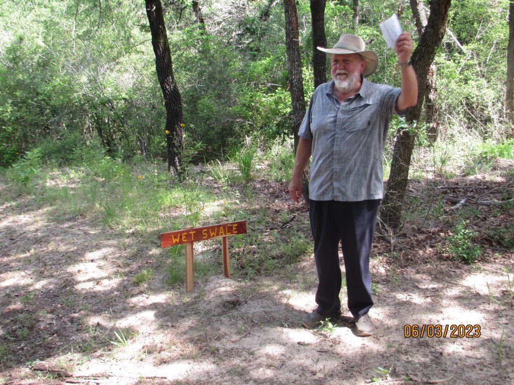
The wet swales were probably formed by water traveling in a path through the area in wet seasons then later used by travelers.
Mike Conner talks about the wet swale
The trail head begins in a woody area on sandy loam soil complete with a fancy new outhouse somewhat like your grandparents had in this area. In many areas a hiker can actually see the trodden path taken by Spaniards and Native Americans dating back hundreds and probably thousands of years ago. They are most discernable by swales that bank the path. A swale is a buildup of land running along each side of the ancient trail. It looks a bit like a street curb might look today. There are both dry swales and wet swales. The dry swales were strictly roads/paths taken by travelers.
Dry Swale (photo by Michelle Lopez)
There also are signal trees believed to have been formed by the native tribes to give direction then later used by the Spaniards. Artifacts from both groups have been identified by archaeologists studying the area. Post Oak trees primarily were used to form these trees.
Signal Tree
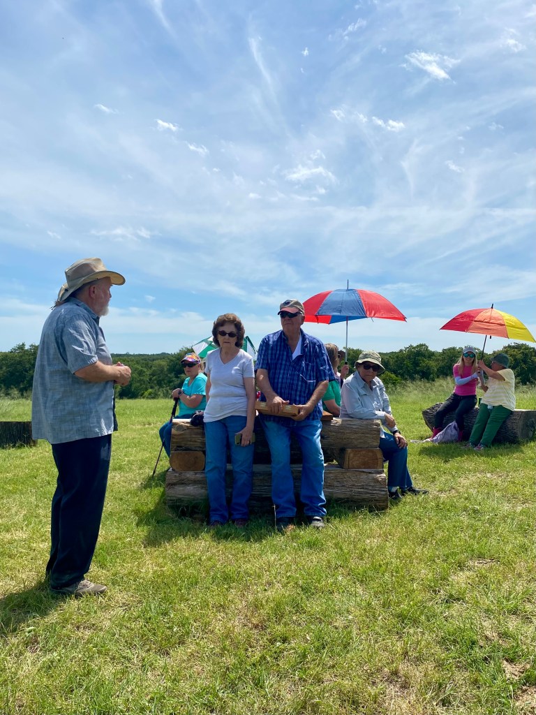
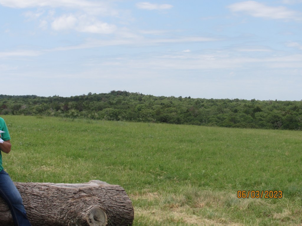
When you come out of the wooded area, you are then on an uphill stretch to reach the very high hilltop. The top of the hill is like a meadow looking out at the woods below and nearby hills or “mountains.” Sugar Loaf Mountain is very near and visible from this hilltop. It is believed that this hilltop where we were was a village for a native tribe or tribes over the years. Tonkawa artifacts have been identified from the area. There was a great deal of speculation by the hikers that the different tribes sent smoke signals to each other from these hill tops. A visit to Sugar Loaf Mountain has long been a rite of passage for area high schoolers.
Hiking up the hill (photo by Michelle Lopez)John Pruett teaching at the hilltopHill top view with pretty clouds (photo by Michelle Lopez)REcovering at the topDistant view
This area is part of the Rancheria Grande Los Brazos de Dios. An archaeological dig in the area around Alligator Creek and Pin Oak Creeks, both of which cross these properties, a few years ago found evidence of very early Spanish settlements.
Trail loop
Mike Conner and Dr. John Pruett, tour guides for the adventure, and Mr. and Mrs. Baumann, explained the history and discoveries while the rest of us recovered from the climb. Joyce Conner etched a map of the trail into a homemade tabletop. It sits at the top of the hill.
Joyce Conner’s tabletop map
Going downhill was easier, but one could certainly feel the rising midday temperature. An appreciation of what people had to go through to get anywhere hundreds and thousands of years ago is brought home when hiking this trail.
The Baughmans (center)
There is a book titled The Archaeology of Rancheria Grande Los Brazos de Dios, written by Sergio A. Iruegas, archeologist, and Melinda T. Iruegas, about the discoveries in the area. It is currently out of print, but there are copies at the Cameron and Rockdale libraries. If you own land in that area, you may be sitting on artifacts.
Mike Conner talks about the trail
Addendum
by Mike Conner
I would like to clear up a little confusion about swales.
Swales are u-shaped, linear depressions in the ground formed by many years of foot and hoof steps. They are never formed by water but may be damaged by water once they are formed. This is happening to some extent to Hidden Swale. Both the Dry and Wet Swales have been certified by archeologists to have been used during Spanish colonial times but may have been used for thousands of years before. The somewhat confusing names for these two swales come from the fact that the Dry Swale leads directly to the historic village site and cuts through a small valley that would only be passable is fairly dry weather. The Wet Swale leads in a less direct route to the historic village site that goes around the edge of the valley and would be passable in wet weather.
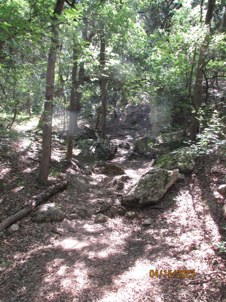
Carolyn Henderson sent along some more photos from our field trip to Mother Neff State Park on April 15. Some are of the scenery and others are of our scenic group members! We thought you’d enjoy them, so we’re passing them along.
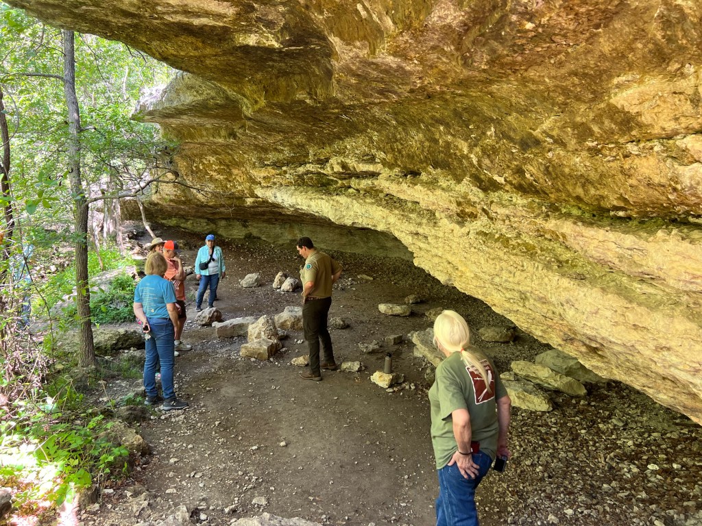
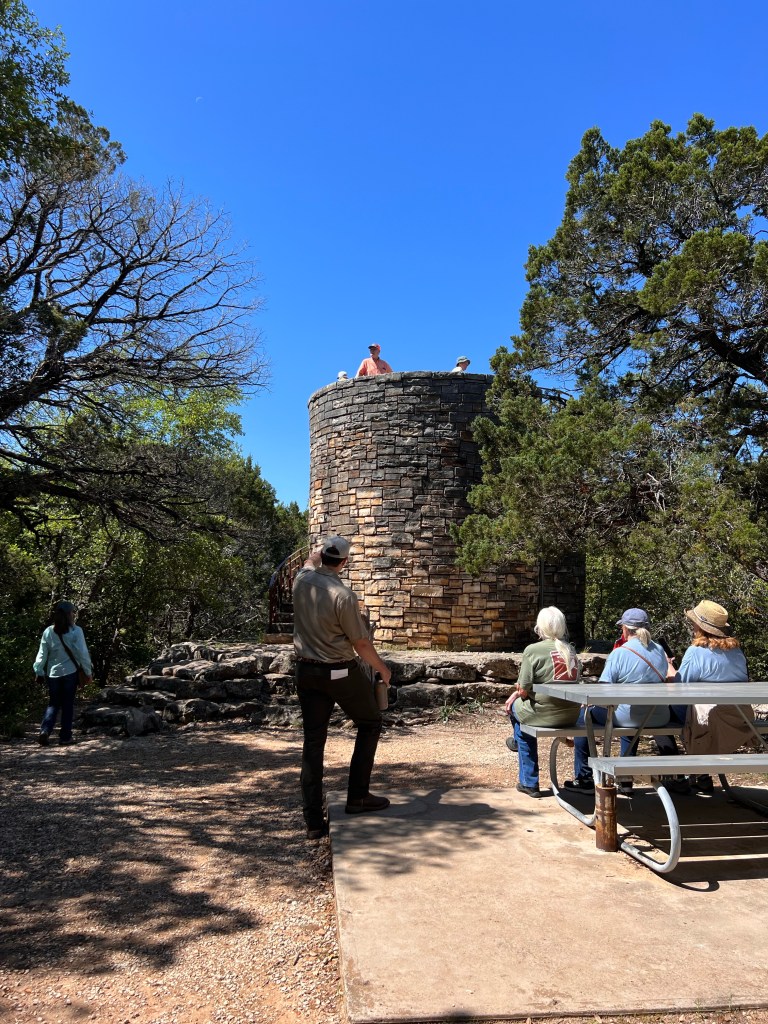
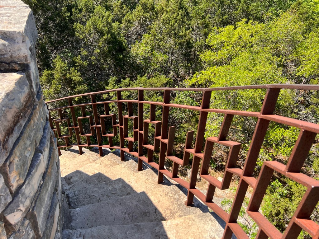
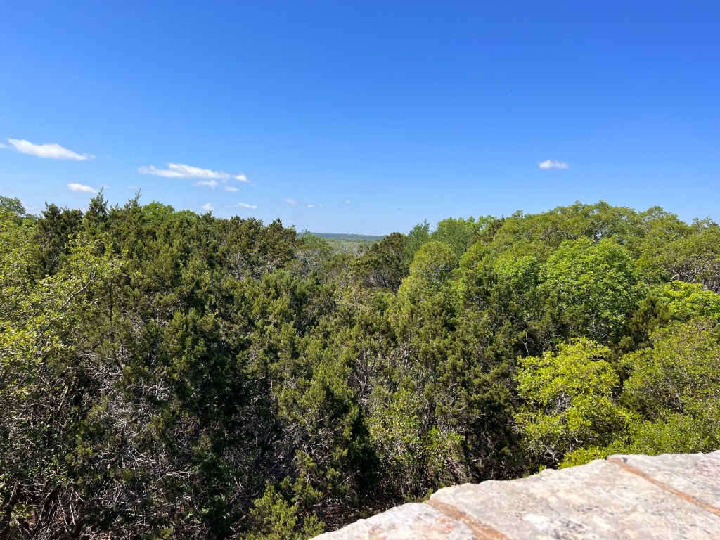
The group at park HQLinda Jo and LizCatherine, Liz, and MarianNeil and our guideSome of our group in the caveDescending into the caveObservation towerGoing up!The trailWash pond
Saturday was an absolutely glorious day for a field trip and guided walk through Mother Neff State Park. It’s the closest state park to Milam County, so it wasn’t a bad drive at all for the carpoolers and separate drivers. Plus, we got to see lots and lots of wildflowers along the way!
Part of our group
We were very impressed with the new park headquarters that was built after the original one was flooded badly (some of the park is still inaccessible). There are very impressive native plantings all around it.
Native plant landscape
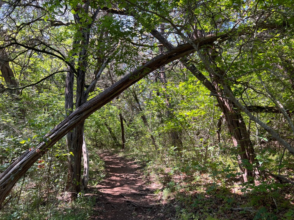
Once we were all gathered and checked in, the group motored over to the trail head and enjoyed a walk through wooded areas, led by a knowledgeable park intern who’s majoring in leisure or something like that.
Into the woods
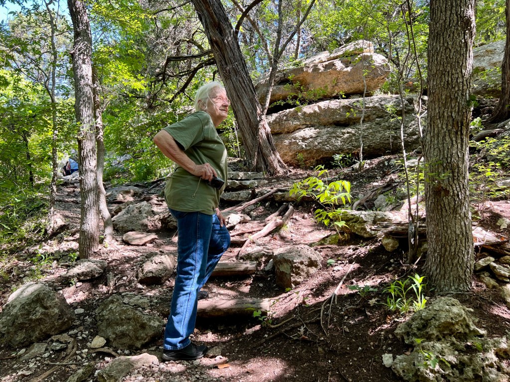
The hike took us to a cave, a cool picnic table in the middle of nowhere built by the Civilian Conservation Corps, a large cave that was used for years by indigenous residents, and a CCC tower that would give great views if the trees hadn’t grown up to block most of it. There was a lot of going up and down involved, so the hike was better for folks with good legs.
MeadowTexas baby blue eyes in the woods The wash pond where residents used to do laundry Looking down the pathLinda Jo handling the steep ascent to the caveLearning about Tonkawa CaveIt was cool in the caveThe group, minus Rosie, the photographer. Those who didn’t climb got to restIt’s a sturdy towerTower stairsTower view
Two of our members were not very good participants in the hike, however. Linda Jo Conn and I were too enthralled by all the interesting plants and insects we saw that we could share on iNaturalist. This park is part of the Texas Master Naturalist GTWT Adopt-a-Loop trail project, so we wanted to add observations to that. Also, well, we are just that way. As Linda Jo states, we proceed at the pace of botany.
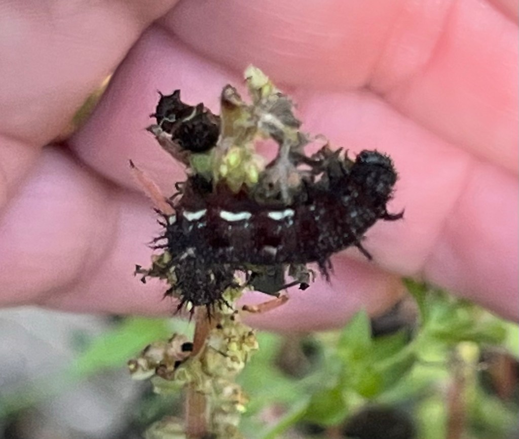
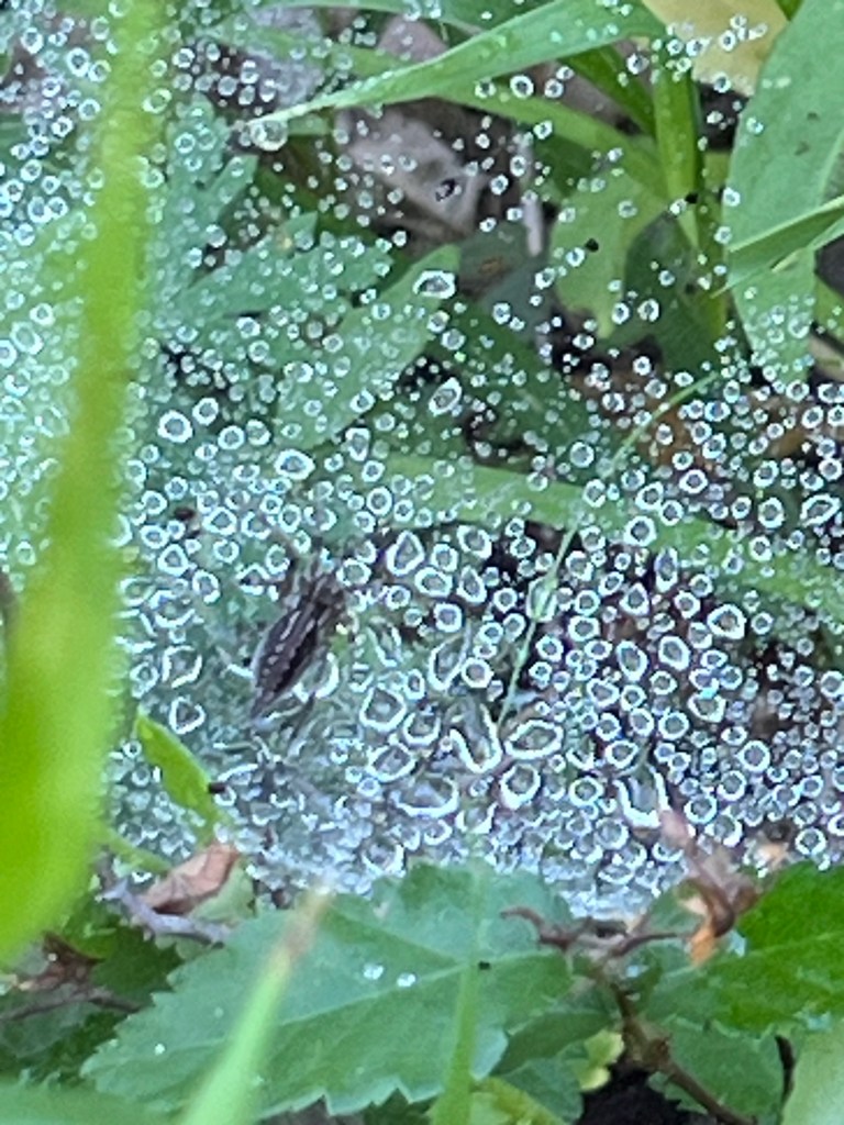
Can you ID any of these?
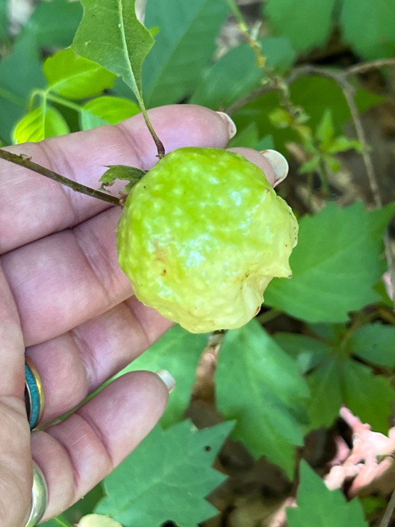
We found some very interesting plants and were impressed by the variety we saw. I wish we’d been there when the yellow passionflower was blooming. But I was impressed that I remembered what the leaves looked like and found it. We had a blast!
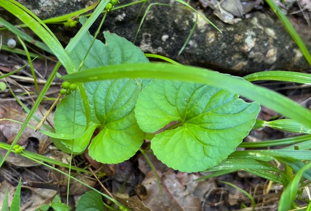
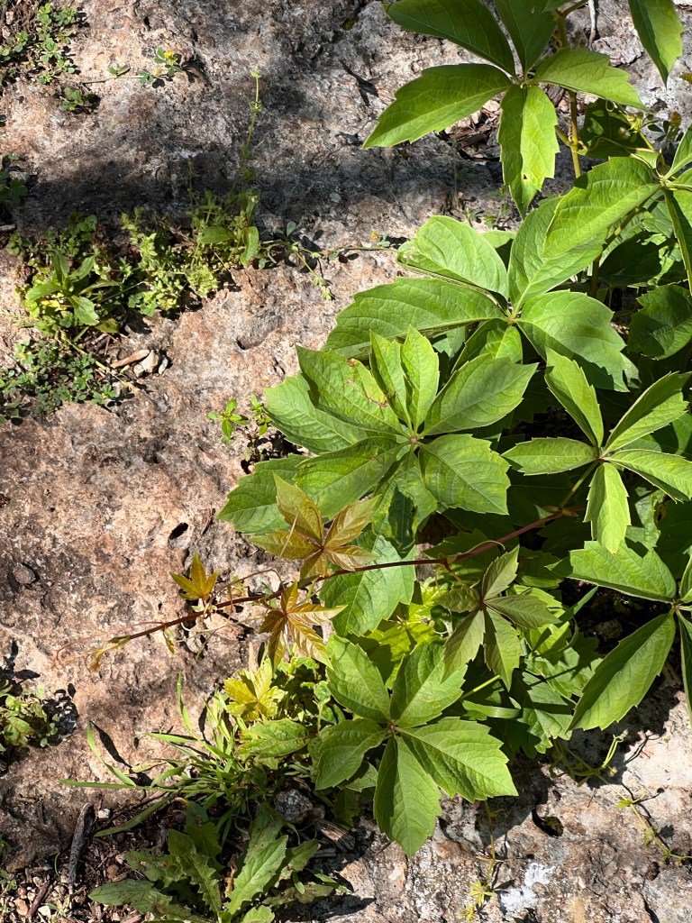
Checking for hairy leavesSpongy apple oak gallA violetINat says it’s a nasturtium?Slender hedeoma Canadian garlicEndemic to Texas 7-leaved creeper (Parthenocissus heptaphylla)Yellow passionflower
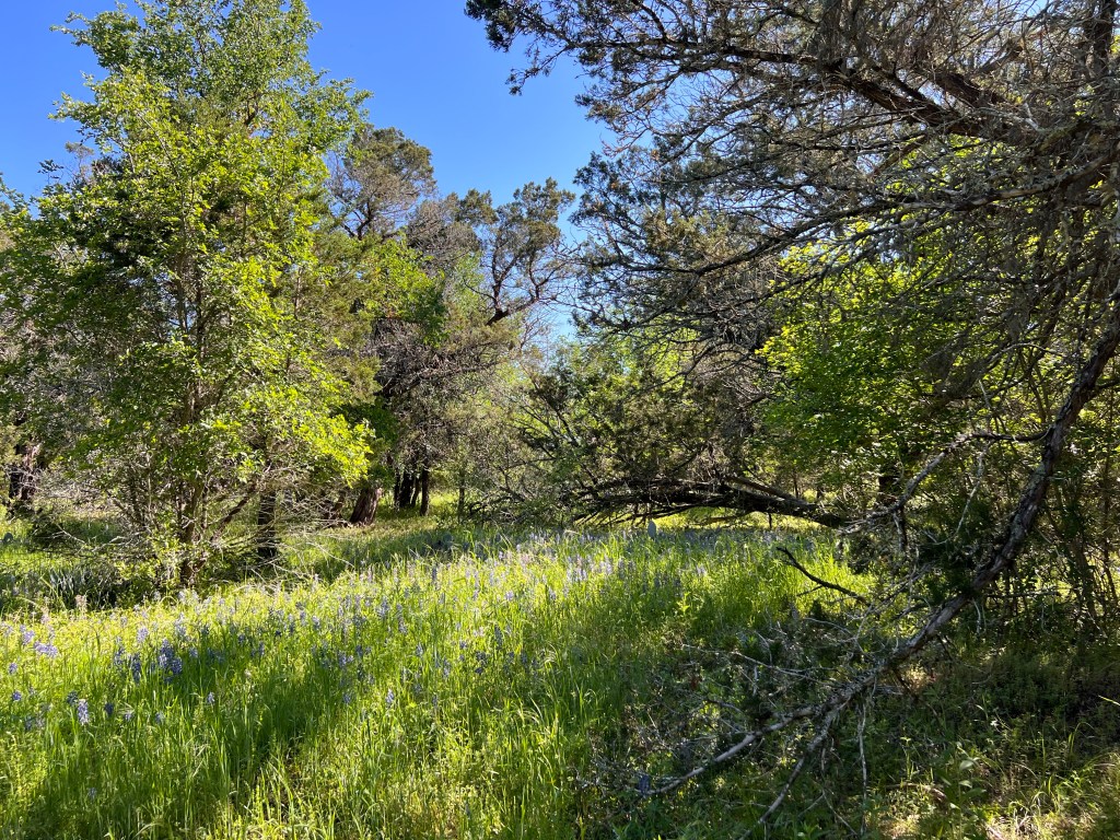
Everyone was pretty tired after we got back, but since I was driving, I forced my passengers to wait while we parked in the trail head for the walk through the meadow that my husband and I had walked last December.
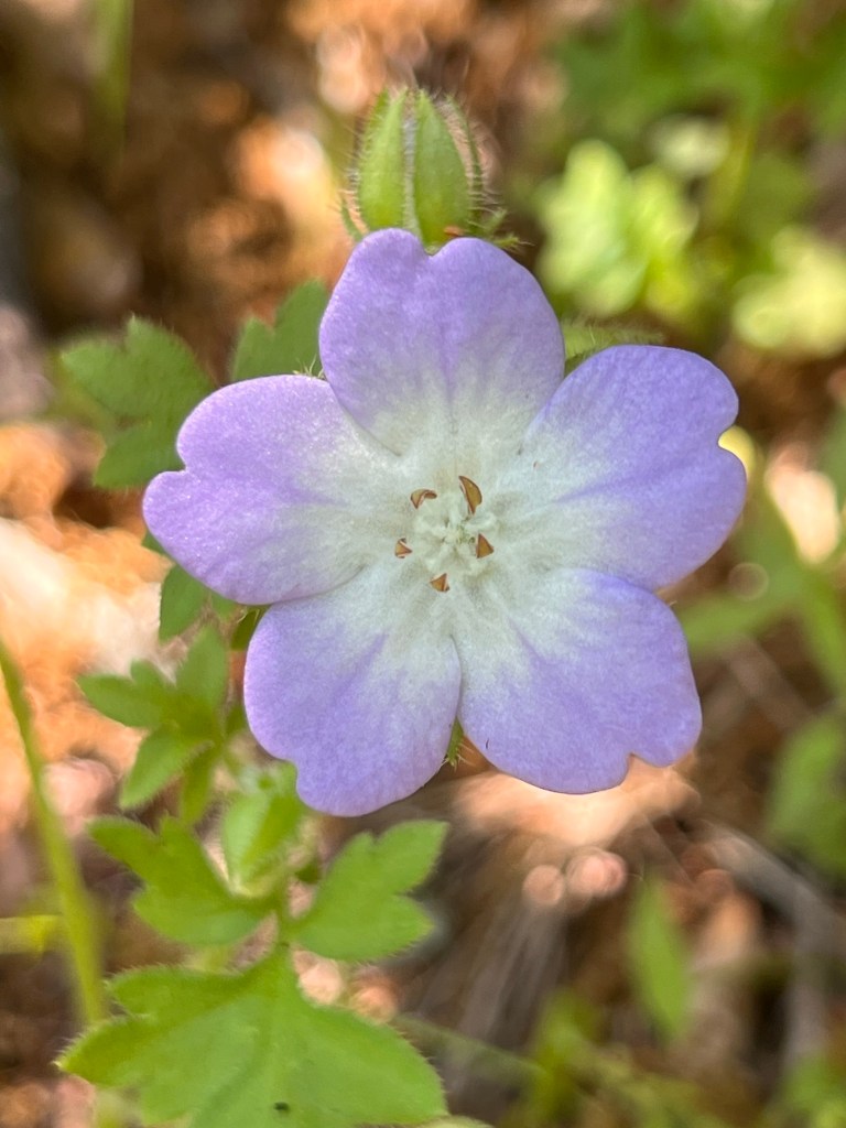
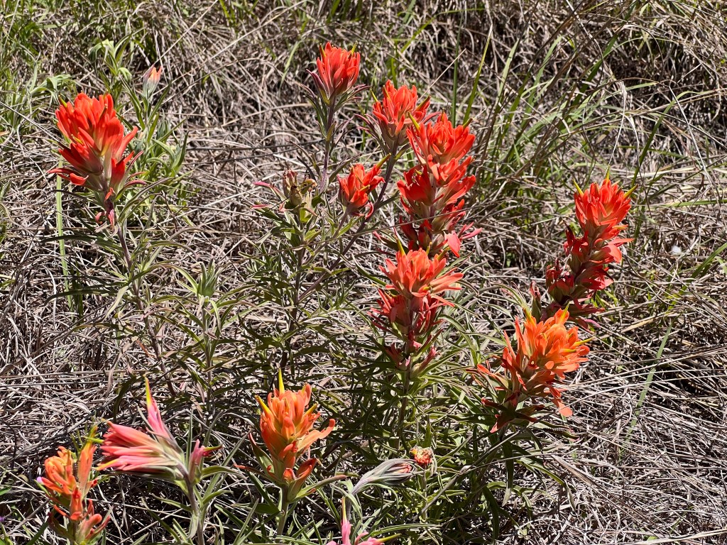
I wanted to see things that weren’t woodland plants, like Lindheimer paintbrush
We didn’t want to make them sit forever, so Linda Jo and I didn’t walk on the actual trail. We got all distracted by a sunny area surrounded by Ashe junipers. It looked like dismal scrub. But NO! It was filled with interesting and rare plants!
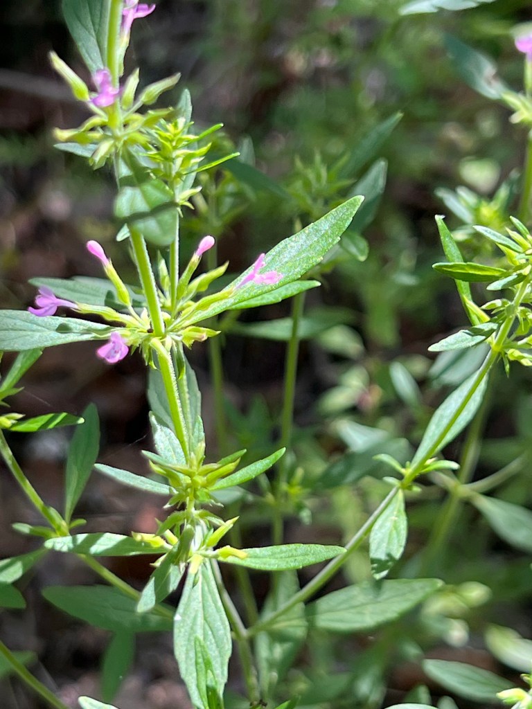
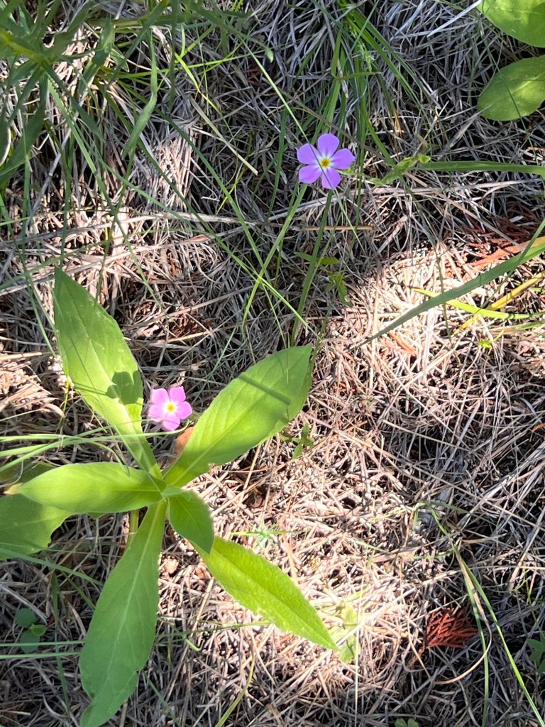
And pretty plants, like cobaea beard tongue
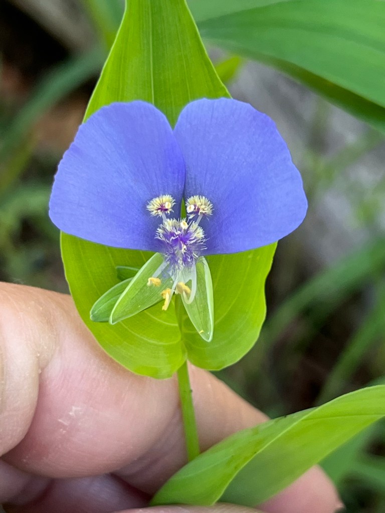
I was particularly excited to find a star milk vine. What beautiful, tiny flowers it has. The one Linda Jo was most excited about was a golden-eyed phlox, which is endemic to Texas. The other chapter members said they could hear us whooping when we found yet another interesting plant in the “bare” area.
Just lovelyStar milk vineGoldeneye phlox
We ended the expedition with a nice lunch on Lake Belton. We’re very lucky to have such a fun group to do our activities with and the perfect day to do it.
PS: Sorry for the lack of Latin names for plants. I had to hurry to finish this. Then a squirrel blew out our electricity and my Internet router.