The Yegua River

by Alan E Rudd

Labor Day weekend this year cried out for a river trip, and the only “river” that was running hard on September 3 was a portion of the stream that the Spanish explorers dubbed the Rio San Francisco.  Stephen F. Austin drew a map of the expanding land grants between the Brazos and Colorado Rivers in 1829 and labeled this same stream Yegua. It stands to reason that those people occupying the land at that time had identified this watercourse as a place populated with horses. Yegua in Spanish are female horses. A valley to the west of the Brazos River with a significant abundance of horses deserves such a distinctive name. St. Francis of Assisi was already known as “the patron saint of animals” when the Spanish priests were spreading their culture north into Texas circa 1690. His name would be attached to many other places and a few streams. The Texas stream that is named after the horse populations attracted to its bottomland habitat is a special kind of place.  It was my time to explore it.

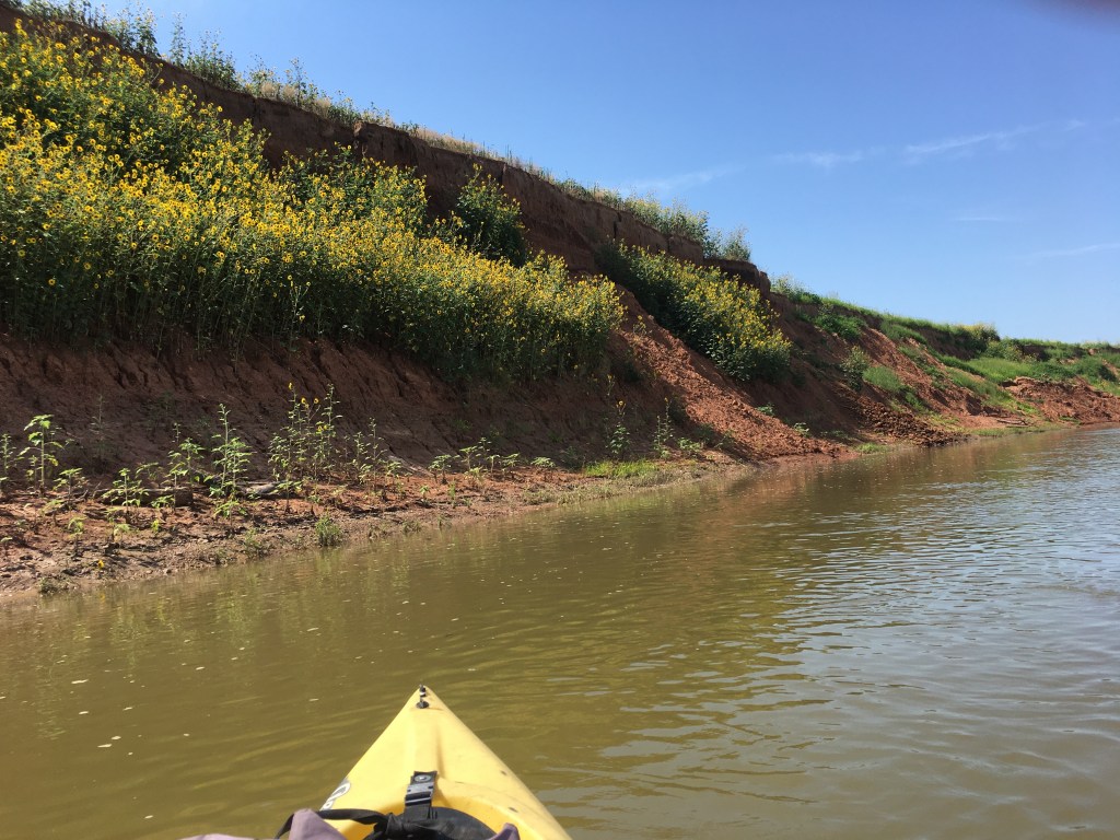
Adam and I put boats into the water of Yegua Creek below the Hwy 36 bridge in Somerville. It was before dawn, and I was hoping to paddle the first portion of a 13-mile run in moonlight.  As luck would have it, we were running a bit too late, and the moon was slightly obscured by thin clouds anyway.   Angie was our driver and her photographs taken as we shoved off show an orange dawn sky looking downstream.  Turns out it was a darn good thing we could see well because the first three miles of this trip seemed like a combination of paddling through a Venezuelan jungle and the log-ride at Six Flags. We needed full visual acuity. Short-statured elm trees reached far out from each shore, and you had to weave around them.  Open shorelines were densely populated with sedges, rattle bean, millet, and smartweed. Somerville Dam was just a mile upstream and was releasing 366 cubic feet per second to supply users down near the Texas coast.  In this 40-60-foot-wide channel the water was pushing hard toward the Brazos and shoving our boats with it. 

The narrow channel was alive with insect life on the water surface and in the air above it. There were clouds of small insects buzzing about us but not biting or landing upon us. I suspect they were midges (I inadvertently swallowed several but could not identify species from the taste), and they were being attacked and fed upon by an astounding number of dragonflies. In the dawn’s early light thousands of dragonflies of many sizes and colors were passing through the dense haze of Chironomids and eating them in mid-air. Looking upward was like watching tuna feeding on schools of sardines. Dragonflies were to be over and around us all day.

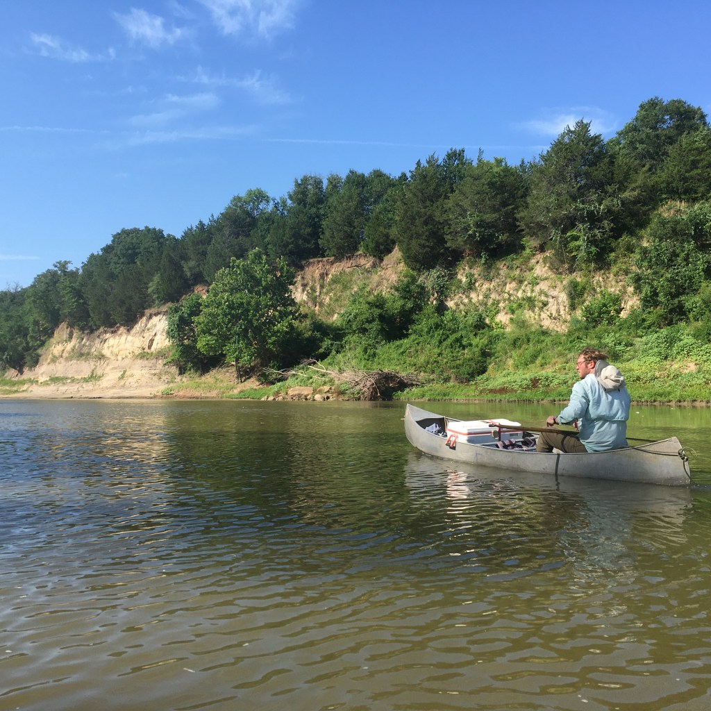
Lots of supplies in Alan’s canoe

One of my worries about running a narrow creek was about how many large trees would be lying completely across the channel.  Very rapidly Adam scraped over the top half of a semi-submerged log in his kayak but my cargo canoe loaded with water and food could not pass. We pulled to shore, carried the cargo around and then portaged the canoe 60 feet to reload and relaunch. This turned out to be the only portage of the day and I pointed out to Adam that many famous “canoe trails” in Maine and Minnesota have ¼ mile portages between upland ponds that have no water flowing between them.  This kind of portage was a cinch unless there turned out to be one tree every half-mile. 

Very rapidly we were off, and then came the rapids. The first was a washed-out concrete vehicle crossing that had collapsed in the middle. Both boats sailed through the gap and the Yegua carried us soon to a second loud crashing of water half a mile downstream. This spot was a concentration of large rock rip-rap strewn across the channel and below a powerline that supplies Somerville and Caldwell.   Construction crews likely used this material when stringing wires 50 years ago. The heavy water flow got us over the rocks and into the big eddy four feet below. No problem! However, this day was far from over.

The next rapids could be heard but were hidden around a hard right turn. It ended up being a steep drop of 5-6 feet. This spot is a natural rock formation.  The 366 cfs filled my boat when I went over the drop and was pushed sideways into a rock wall. This, dear hearts, is why we tie all our gear securely into the canoe.  
The entire boat was full of creek water in under three seconds and was being pushed rudely downstream. The water jugs, canteens, Pelican box holding my I-phone, ice chest (strapped tightly closed), first aid kit were all attached. Adam, who had shot through the rapids ahead one minute ahead of me in the kayak, had spun around to watch as I inelegantly exited my boat and was floating along beside it in my ugly brown PFD (personal floatation device). Don’t ever let anybody tell you it is too hot to wear a PFD (even an ugly brown one), especially on a reach of river that you have never traveled before. We were shoved downstream 300 yards along straightaways and around corners before an adequate sandbar was located to pull up the water-filled canoe. 

The PFD was absolutely essential to keeping me from snagging a pant-leg or belt on a submerged tree-limb while being dragged along. The water temperature felt good in late summer, but in winter getting “tumped” over would have been a problem that required quickly building a fire to heat up a shivering paddler (me). Yet another reason you never paddle alone. It is hard to start a fire when you are shaking like a coon-dog trying to pass a peach pit.

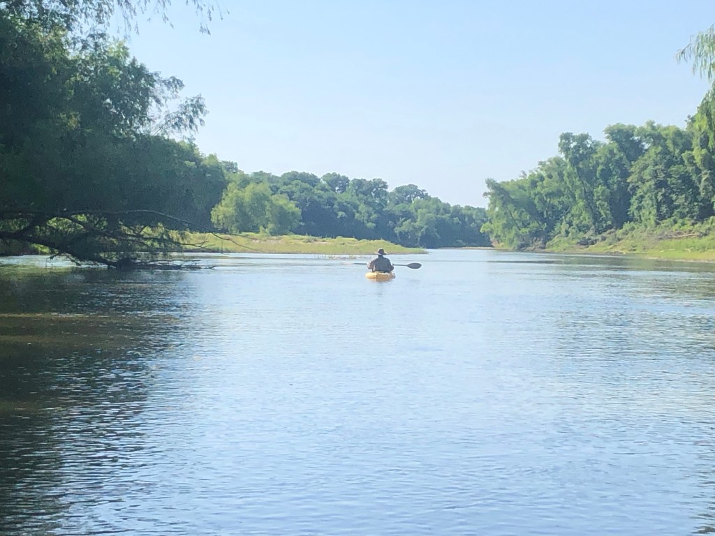
Adam in kayak ready for adventure on Yegua Creek near Lake Somerville

The fourth rapid was halfway through the trip and had a large rock in the middle of the river.  A lunchtime spot! The rest of the trip was delightful. Magnificent pecan and willow trees over-hung the river. We paddled in the shade almost the entire day.  Without question the largest black willow trees I have ever seen stand like mythical giants along the Yegua. I wondered what it takes to be the state record Salix nigra? Two of these we saw had to be contenders.  

Beautiful live oaks grew on both the Washington County bank and the Burleson County shore. Big antlered deer and feral hogs were sleeping and feeding in the lush green growing on the shoreline sandbanks. There were two old, abandoned county road bridges. Cattle swam and waded back and forth across the county line (who needs bridges?).  We noted two minimalist fish camps but not a single drop line was seen. This apparently is rod and reel territory.

Adam and Alan on Yegua Creek near Lake Somerville just past HWY 36 bridge

Having unceremoniously plopped over my trusty OUACHITA, I was glad I did not bring my binoculars. Many small birds flying across in front of me consequently went unidentified. I did note eastern phoebes, pileated woodpeckers, a lone anhinga, wood ducks, a Louisiana heron, green herons galore, and great blue herons. At least my vision is still good enough to see the big ones!  

The surprised behavior of a lone coyote suggested he had never seen a boat before. Deer antlers seem big this year based upon the whitetail bucks we flushed. That cool rainy spring must have provided protein at the right time for a lot of grazing animals. Francis of Assisi would be pleased.

The nice thing about this canoe trail is that it has easy access to put in on Hwy 36 and easy access to take out at Hwy 50 near Clay, Texas. Driving home through Independence and eating Mexican food at Las Fuentes in Somerville after a 6-hour paddle was a sweet finish to a Labor Day Sunday trip. Always bring dry clothes or lunch must be eaten in the outdoor heat. 

Nowadays the Yegua is considered a “creek.”   After experiencing the intensity of the flow and taking a thorough dunking at a natural waterfall I can see why those well-educated Padres and Spanish Expedition commanders wrote down in their diaries that the San Francisco was a river.

Yegua Creek, which is actually a river. Photo by Alexey Sergeev, 2020. Public domain.
(as you read on you’ll see why Alan shared no personal photos)

Celebrating Our Graduates!

by Sue Ann Kendall

Photos by Sue Ann Kendall and Debbi Harris

Wednesday night was very festive for the El Camino Real Texas Master Naturalist chapter. We celebrated the five new graduates from our training program with a delicious meal and a lovely presentation at the All Saints Episcopal Church in Cameron, where we also have our monthly meetings. We are grateful to Fr. Jeff and his staff for being such gracious hosts.

Father Jeff and our graduates.

Our food was catered by Hot Corners, the company that is located in the beautiful Venue at Railfan that recently opened in town. Barbara Dominguez does a wonderful job, and we were glad to see our vegetarian attendees had many options. Next time we’ll remember to ask for a gluten-free main course!

The appetizers included one of Barbara’s famous charcuterie boards, along with wine and some pretty darned good non-alcoholic wine beverage that was fun to try!

MMM, charcuterie

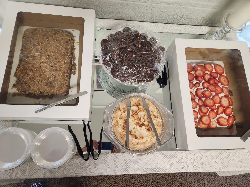
Desserts were provided by Alan Rudd, who was also our assistant trainer this year. It was hard to choose which one to try, so many people tasted more than one.

The fellowship and conversation were fantastic, and everyone had a good time at the meal, and an even better time during the awards.

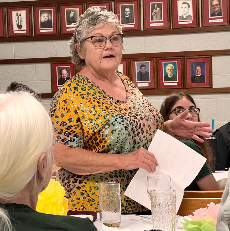
First, Dorothy Mayer read her famous poem she wrote when she was graduating, which always brings a laugh.

Dorothy shares the story of her poem.

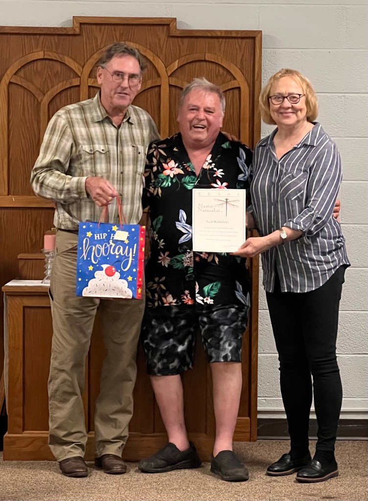
Then came the highlight of the evening. Patricia Coombs, Brenda Ferris, Ellen Luckey, Michelle Pierce, and Neil Wettstein were each presented with their graduation certificates, and two others received their first dragonfly pins for their initial certification as well. Great job, everyone!

Following the student awards, Alan Rudd presented Kathy Lester, our lead trainer for the past three classes, with a beautiful painting of a sunrise or sunset (you get to pick) with kind words on the back of it from past students. Kathy was surprised and delighted by her gift, which is obvious in the photos!

Kudos to the team who put together the party and decorated the room so nicely. It takes a lot of work to organize all our activities, and we appreciate our dedicated members very much. Now, let’s get going on the City Nature Challenge!

Here are a couple of funny out-takes from the party. We did have fun.

Fish Ear Bones

by Sue Ann Kendall

Last night, our Chapter Meeting speaker was our own Alan Rudd. He happens to know a lot about fish, thanks to his training and profession of managing fisheries and lakes. He used his knowledge to show us all how little things we think don’t matter can have huge significance for those of us studying the natural world.

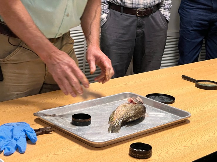
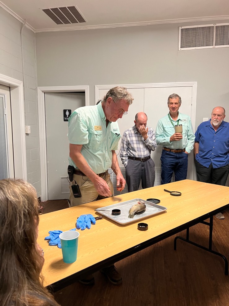
I have to say he had some excellent props for his talk. The first one he broke out was a dead fish. Yep. Alan proceeded to start the dissection process on a nice-sized crappie (a delicious member of the sunfish family). All he did was break its neck and extract something very small with his tweezers.

Ready to work on the fish. The tweezers are important!

What was it? It was a stone-like thing that grows in the ears of all fish, called an otolith or ear-stone. Every fish has them. It helps them hear. What use could that tiny thing be to research? Alan had wondered that himself, when he first studied fish anatomy.

Eric can’t bear to watch (not really)

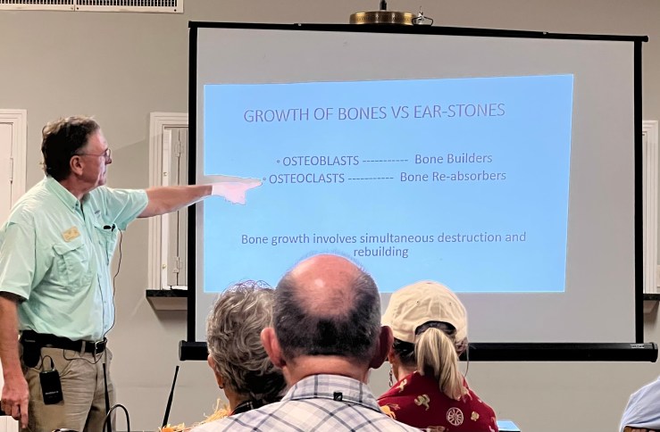
It turns out that otoliths are pretty cool. They are not bones, but more like stones. You see, bones grow in a process of taking away parts and growing new ones, thanks to components of bone called osteoblasts and osteoclasts. That’s how we get the porosity of our bones.

The only way I could remember this was to take a picture.

The ear-stones in fish grow by depositing new layers, like an oyster grows. So, they end up being solid. The stones in different types of fish look different, too, so you can tell where one came from even if the fish isn’t there. It turns out you can learn a lot from them, after all.

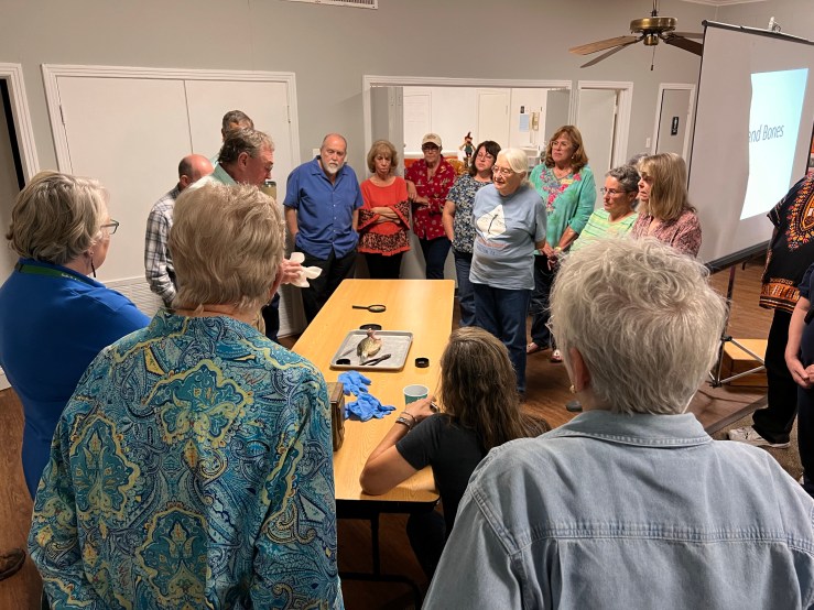
Not shown: the people who were grossed out by this whole process.

Alan shared with us a collection of ear stones from fish he’d harvested lately. They were very light, but quite hard. Then he shared how he came to find out how they help research.

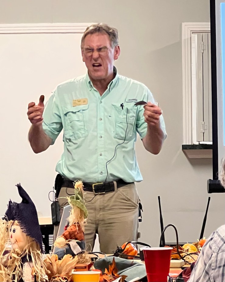
Alan is asking who gives a rat’s patoot about all those teeny tiny bones in baby fish?

He spent a summer doing research on salmon in the Pacific Ocean, abord a gigantic Japanese fishing boat, which had a whole fleet of other boats along with it. In addition to Alan, there was another American who was researching Dall’s dolphins, who sometimes got caught in the giant nets (over a thousand miles were put out every night–that adds up to a lot of salmon). Thanks to the other researcher freezing dolphins that had drowned and sending them off to research facilities, it was discovered exactly what the dolphins ate in the wild. How? By identifying ear-stones in their stomachs! Previously, it had been thought that the dolphins only ate squid, because all they found in formaldehyde-stored specimens were their beaks and that big bone they have. Freezing gave more info and saved the ear-stones. Progress. Yes.

Alan also shared how research had found that fish deposit a white layer every May (no one knows why) in their ear-stones. This lets you figure out many things about a particular fish. You can count the rings to see how old it was, but you can also inspect how closely together the rings are to determine how fast or slowly the fish grew. For commercial fisheries, you want fast-growing and healthy fish, and you can check on that by ear-stones. Who knew?

Bonus fact: Alan once found a 12-year-old fish in a very acidic lake. Its slow growth had let it live longer. Huh.

Bonus fact 2: Crappie breed every year at the full moon in March. They swim around looking at the moon until the right time (I made that part up).

I assure you this knowledge was much more fun to acquire via Alan’s talk. He is a good speaker, and his theme that knowledge builds slowly on the work of past researchers made a good point. Even the little things we discover doing citizen science can help someone make a big discovery someday.

Brazos River Canoe Excursion

by Alan Rudd

I have been accused of having too many boats. Anybody that loves the water and understands that water transport has been a vital part of human existence, should naturally be attracted to boats and boating. It is after all deep in the human psyche to want to cross the waters and see what is on the other shore, and for most of human history bridges have been few and far between.

There is no such thing as too many boats!

On June 20, 2022, my son Adam (36 years old USAF veteran) and I checked waterdata.usgs.gov and noted that Lake Whitney flood gates were being opened every night allowing a 4000 cubic feet per second (cfs) gush of water to proceed toward the coast and downstream users. Even though most rivers in Texas have been at extremely low flow rates all spring and summer, this water management strategy kept the Brazos River at a nice steady flow from Waco to the Gulf of Mexico, and perfect for canoe travel.
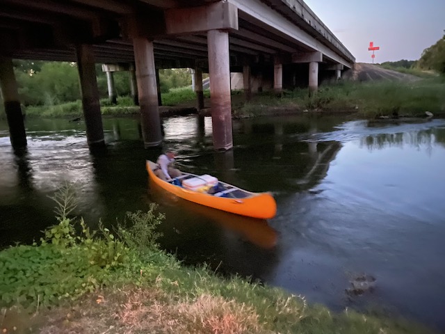
The canoe

We had scouted a reach of river that borders Milam and Robertson County from Google Earth photographs and by examining the access points at several highway crossings. This was a stretch of the Brazos I had never been on and pulling under the FM 979 bridge west of Calvert was the beginning of a very special day. Angie was the shuttle driver.  She took command of the truck after we unloaded my 1982 Grumman canoe, and an Ocean Kayak. We estimated that we could cover the 16 miles of river by 3 pm and that was the default rendezvous time at the next highway bridge on FM 485 near Hearne.

The only person we saw the entire day was a young man in a small motor boat at the launch point under the 979 bridge. We talked as three boaters should, about the river conditions, his cat-fishing success, and marveled that we had common friends down in Somerville. This polite young man named Austin said he is alone most of the year fishing this stretch of river that is blocked upstream and downstream by large rock structures that prevent most motorized boating. I was somewhat unnerved by the fact that he was surprised that we thought we could make it all the way to FM 485 Angie had already spun wheels in the gravel to go shopping in Bryan so there really was nothing left to do but head downriver.

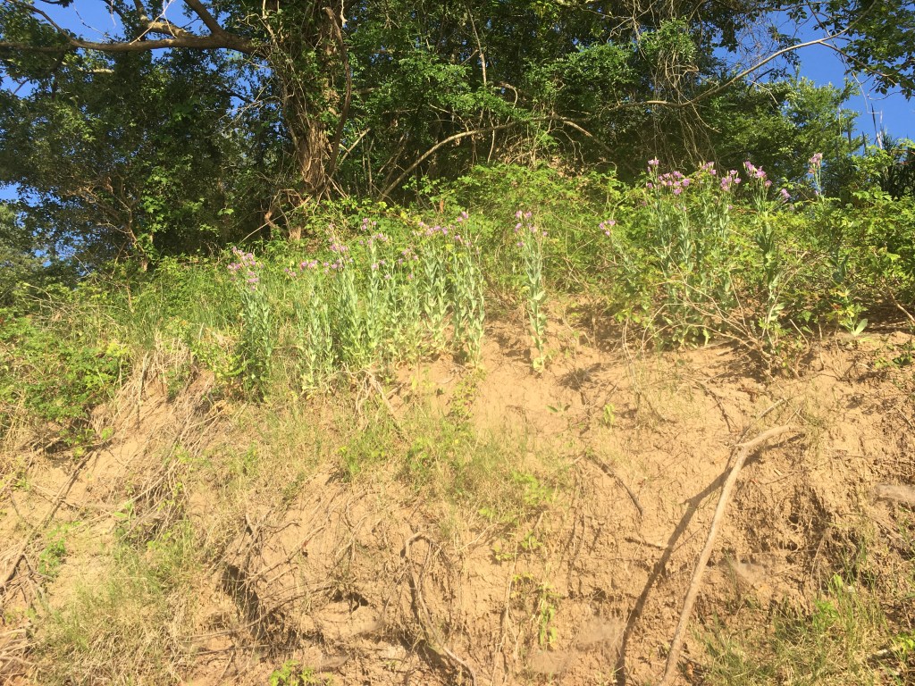
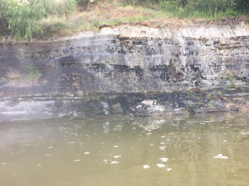
We paddled in the shade of very large cottonwood trees, Texas ash, and black willows that form a high green curtain on both banks of the river. It would be 100 degrees later in the day, but the first three hours were delightful. At a rocky riffle less than a mile from the bridge two bald eagles launched from their observation posts and crisscrossed the river in front of us. I observed blue bells flowering on a clay embankment on the Milam County side. Spotted gar and alligator gar were surfacing alongside the boats most of the day, and you could distinguish them by their different skin color patterns in the moderately clear water. We passed through one location where the river cut through deep clay banks that sandwiched a 15-20-foot-thick vein of lignite. Spring water flowed from above the lignite seam and dripped into the river with and audible trickle. On this 16 river-mile reach we observed no less than seven spring-water inflow locations. The dripping and flowing spots alike felt to be about 70 degrees F to the touch of a hand when the river water was in the high 80s. One spring I estimated was running 6-8 gallons per minute and dropped at an angle where you could paddle under it and catch water in a canteen. I just filled my hat and then enjoyed an impromptu cold shower on river right. I carry large sponges to bail the canoe out when this indulgence strikes me.

The kayak

We did see cattle tracks, beaver sign, feral hog rooting, and wallow sites, but did not see a single human footprint the whole way. We found and picked up exactly two pieces of litter (a Gatorade bottle and a soda can). There were three tractor tires that had obviously washed down decades ago from farm operations just out of sight through the trees, but it was a joy to paddle a track where the trappings of modern society were not in plain view.

The large sweeping bends of the Brazos River produce huge sand bars on the inside of each curve. One on river right (the Milam County side) appeared to be 80-100 acres in size and was dotted with mussel or clam shells of many species. What a great camping spot to pitch a tent in the soft sand. Invariably these sand bars are across from a steep soil bank into which the river is carving and eroding away the deep alluvial deposits of red sand and clay. I searched with my eyes for evidence of bones protruding from these crumbling soil banks. Mastodon skeletons have been discovered by boaters in just such a search pattern. I seem to remember one excavation in the 1980s by Dr Gentry Steele, a Texas A&M professor that was alerted to a fossil find by river paddlers.

If I’d had a talented birder along (especially one with perfect pitch who knew birds by sound) it would have been a good time to listen and learn. I know the sound of painted bunting males as they are abundant around my home is Burleson County. Buntings were singing in the jungle along the river though on this day I never caught sight of one on either shore. Much other birdsong emanated from the trees and tangled vines, but I could not interpret the notes nor the silence between the notes.

Blue herons love to hunt in the shallow riffles on the Brazos. They were present in cadres of 8-12 individuals and were never happy to see us approaching. I thought it was odd that we saw only one white heron all day.  Cliff swallows were fledging young from nest holes that were burrowed into the crumbling red soil of one high bank on the Robertson County side (river left). I have seen them nesting on rock overhangs on the Rio Grande, but this display showed how they could have a nesting colony on the lower Brazos before the advent of concrete bridges that serve them so well these days.

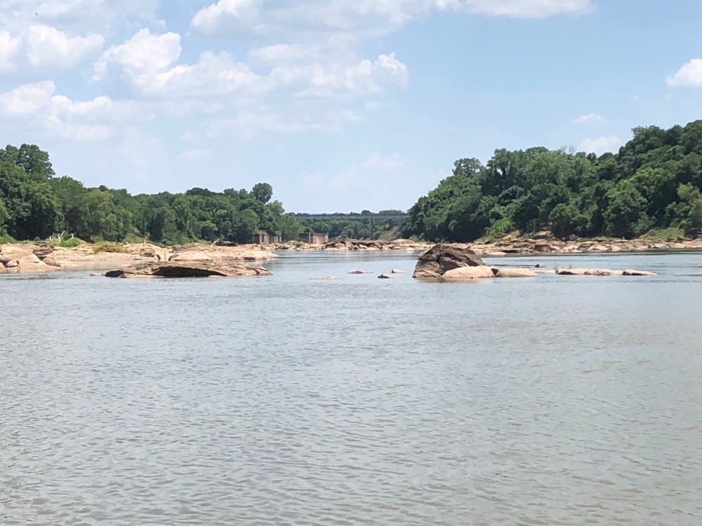
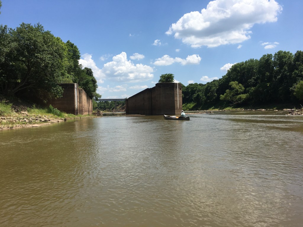
The end of the river run brought us to a massive rock structure about ¾ mile upstream of the FM 485 bridge. This sandstone formation blocks the path of the Brazos and eons of the wear and tear of flowing water have not been able to dramatically alter its presence. 

In the late 1800s US government officials toyed with the idea that the Brazos River should be fitted with locks and dams such that steamboats could be run from the coast to Waco, Texas. Paddle-wheel steamboats of earlier decades could power upstream from Freeport all the way to Washington on the Brazos. A rock formation known as Hidalgo Falls blocked any meaningful traffic further upstream. The lock and dam proposal was shelved in the 1890s because railroads were doing a capable job of moving freight about the country. The idea was revisited, however, and circa 1905 construction was started on several of the proposed eight locks and dams. It seems a flood wrecked much of the work within a few months and another attempt after WWI saw Lock #1 (Hidalgo Falls), Lock #3 (Port Sullivan now FM 485), and Lock #8 at Waco, all earnestly under construction.

Lock # 8 at Waco in fact was completed and stood proudly until a massive flood in 1923 bypassed this man-made obstruction as the river rerouted itself. This same flood also apparently clobbered #3 and #1 as it lumbered to the Gulf. When I spoke with Eric Neubauer about this story, he mentioned having seen the lock and dam on a Google Earth image still present in the middle of a farmer’s field near Waco. At any rate the Feds abandoned the project 99 years ago and the remains of three structures are all that is left of that early attempt at freight hauling on the Brazos.

So, back to that sandstone structure that I approached with trepidation.  The 800 cfs of water flow was chaotic and looked dangerous to me. A good pathway through the rocks was not clear. As commander of this expedition, I stood on a mid-river boulder that resembled a giant biscuit. Without hesitating, Adam paddled past me through a maze of other giant biscuits (if I were allowed to name this formation today it would be Pillsbury Falls).

Working my way through in the kayak I saw Adam had cleared the formation in the Grumman using several daring maneuvers.  He was a combat airlift pilot so supplying him with a canoe built by a company that made WWII fighters just emboldened the pair to run the rapids pell-mell. The entire formation was perhaps 275 yards in length with multiple passages. It would be quite a nasty spot to traverse at 1800 cfs.

Directly below Pillsbury Falls was what remains of Lock #3 that was abandoned almost a century ago. This massive concrete structure dwarfs all human traffic on the river and clearly will stand for thousands of years. Watching the water flow through its 23-foot-high walls and across its perfectly flat concrete bottom made me wonder about the crew of engineers and laborers that strove to build this structure. Some of their equipment is a tangle of steel and wood downstream and near the current highway bridge. I don’t want to have to go through those upstream boulders at high water, but it would be fun to go shooting through that giant concrete lock one day.

After pulling the boats out under FM 485 bridge, we took a quick shampoo/shower with buckets of well water from the back of the truck. Changing into dry, clean clothes we were off to Coats Grocery in beautiful downtown Gause for ice cream. And the problem about “too many boats?” You either have enough to do the job or you don’t. No Problem.

More Field Trip Memories

by Carolyn Henderson and Catherine Johnson

The El Camino Real chapter of Texas Master Naturalist took their first field trip of the year to the farm of Master Naturalist Alan Rudd. About twenty members, including new trainees, toured the place learning about natural methods of fish farming and how the stock ponds were created. Rudd also gave a history of all the new species drawn to the area by the abundant water and food sources.

After the hike around parts of the place, members cooked hot dogs and pie iron goodies over the fire. Many thanks go to Rudd and his family for hosting the chapter.