
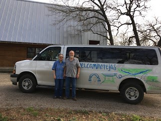
By Joyce and Mike Conner

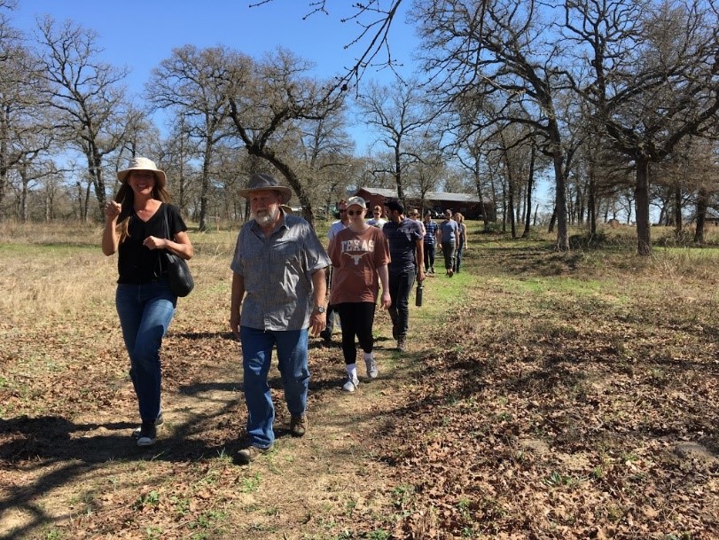
On Saturday, March 9, 2019, thirteen students; their teacher, Dr. Nichole Wiedemann, from the University of Texas School of Architecture; and Steven Gonzales, Director of El Camino Real de los Tejas National Historic Trail Association (ELCAT), arrived at Cedar Hill Ranch in Gause to hike a small part of El Camino de los Tejas National Historic Trail.

There they met Dr. Lucile Estell who explained how she and the late historian Joy Graham worked to get the approximately 2580 miles of trail nationally recognized as the 19th National Historic Trail in the United States in 2004 and then subsequently worked to get signage placed throughout most of Milam County. (Dr. Estell has authored/co-authored several books including El Camino Real de lost Tejas (Images of America) and Historic Bridges of Milam County; and served on the board of ELCAT for many years since its beginning, including as president and vice-president.)
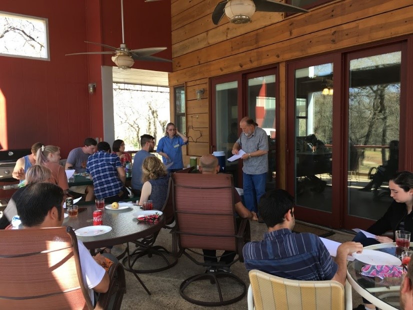
And then, some sustenance! After being served a picnic lunch by Joyce and Carla Conner, Mike Conner explained the Ranch and its management, and showed a map depicting the route of the hike. Later, the group set off, led by Mike.
As they hiked, Mike explained how the largest swale (now referred to as the “wet” swale, indicating that the people probably used it when the low area was flooded) at the ranch had been partially uncovered when he was clearing land for possible Houston Toad rehabilitation. (However, it was after this that archeologists Sergio and Melinda Iruegas identified it and several smaller depressions as swales while doing reconnaissance on the ranch.)

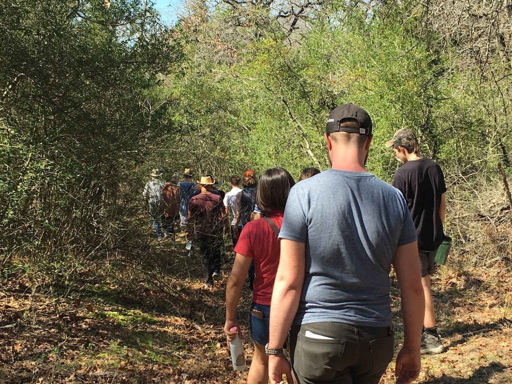
The group visited several of the swales before hiking into the neighboring property and up one of the highest hills called The Baumann Village Site, and now known to be part of the Rancheria Grande.

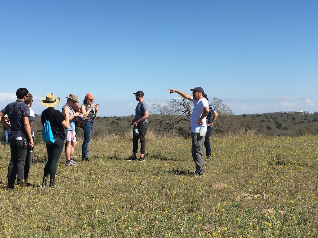

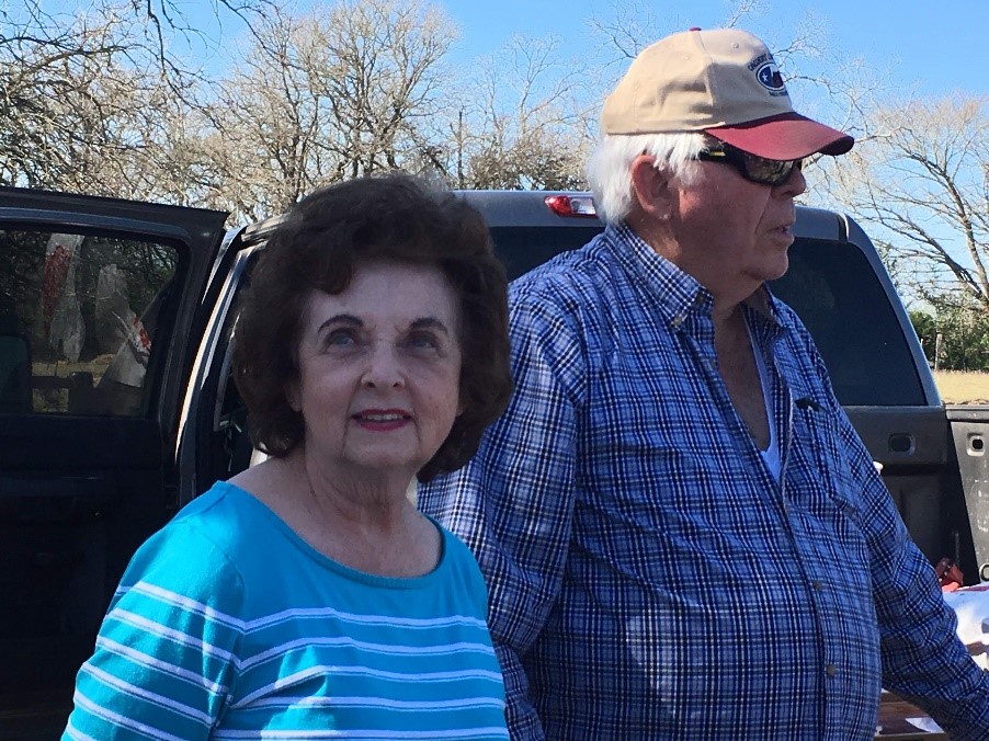
On the other side of the summit, the group met Elaine and Gene Baumann, the landowners of the Baumann Village Site.
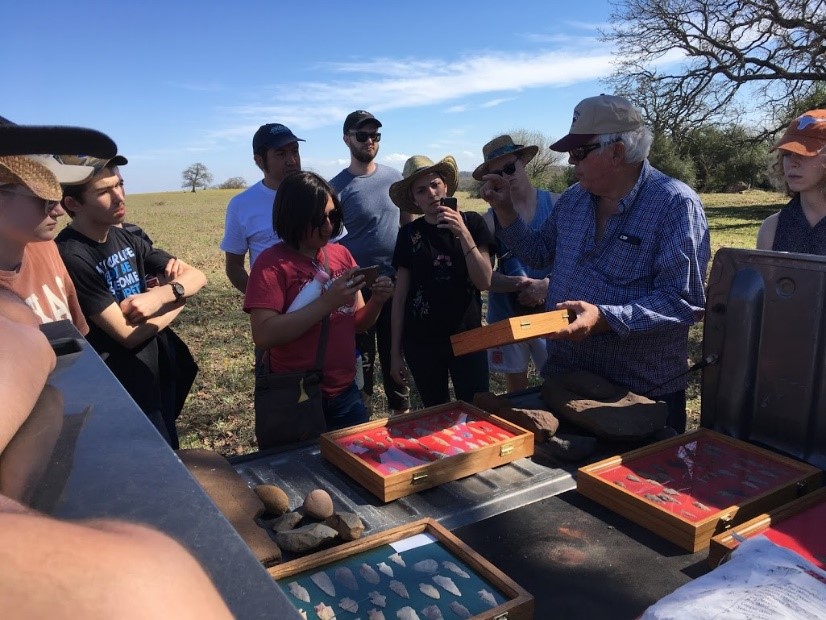
Evidence of several native peoples’ homes have been found on the summit, as well as an extensive array of artifacts.
The Baumanns showed many of the artifacts that have been found – like, arrowheads, metates, and shards.
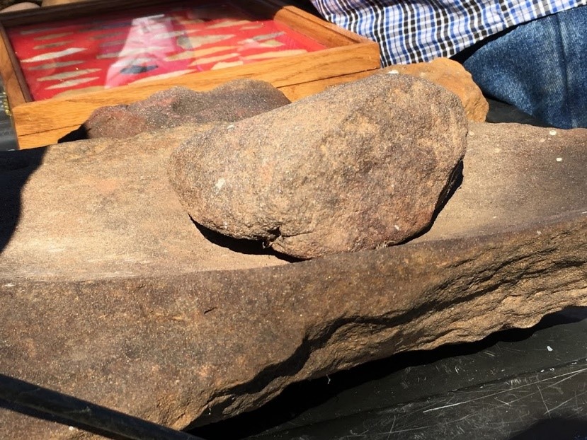
Analysis of these artifacts showed that the village site was inhabited regularly for at least 12,000 years, including the time of the Spanish Colonial period.

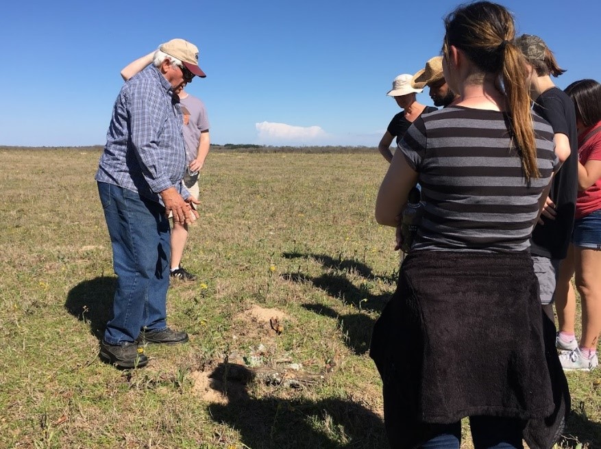
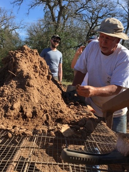
Fortuitously, Calvin Whiteley, an amateur archeologist who has been discovering artifacts in the area for many years, was also at the site. Students eagerly entered his dig site to learn more.

At his sifter (Figure 15, far background to the left of truck), Calvin showed the students his process and then allowed them to sift through the dirt looking for artifacts.


After a tiring but eventful afternoon, the group returned to the Cedar Hill Ranch house before setting off to their next destination.

Final Notes
Along with the international design firm, frog, Dr. Nichole Wiedemann has developed a course in an advanced architecture studio this semester that includes interviewing stakeholders in the Camino Real at specific trail sites, so that students can garner understanding from the general public about the Trail. This hike was one of the class’s many adventures in a five-day field trip exploring El Camino Real de los Tejas National Historic Trail. It is hoped that the students will develop a plan for how to raise public awareness and support for the Trail.
The Conner Swales and the Baumann Village Site (as well as the neighboring Wise Swale) are certified as being part of the El Camino Real de los Tejas National Historic Trail and are all three currently in the process of being listed in the National Register of Historic Places.
Joyce and Mike Conner are currently certified Texas Master Naturalists and have a great interest in preserving their property for wildlife and historic purposes. The El Camino Real de los Tejas National Historic Trail Association is a partner of the Texas Master Naturalist El Camino Real Chapter.
